– Prince George, British Columbia to Hope, British Columbia –
The weather changed dramatically today. It actually feels like summer now. We packed away our sweaters when we were putting our bags together this morning, but I think we were still a little surprised by just how dramatically the weather changed.
We began the day with a run in Prince George. As always, the park had a sign warning about bears. Great. I’m getting really tired of bears. According to signs around the park, the area had severe flooding about two months back, and the park was closed. Several of the bridges leading through the park were gone entirely. You’d be running up a path and you’d come to deep gully with a water crossing. The bridge would be gone, but you could clearly see where the path started on the other side. We even came across one bridge that had a tree crushing it in the middle.
We did manage to make it around the park, though. It wasn’t our greatest location of the trip, but I’m afraid it will probably be our last. Unless some miracle occurs, we just won’t have time over the next couple of days to run in the mornings. We’re planning to get out of bed and get out of here.
We had Tim Hortons for breakfast, and I expect we will have it again tomorrow. It’s our last chance until probably next year. Or at least, Mark and I will most likely back in Canada next year. My parents don’t seem to think that they’ll ever have an opportunity to visit again.
We didn’t really leave town until after 9am, since we had a short day today. It was cool in Prince George, but not cold as we headed out of town. I read for a good while this morning, but it turns out that my optimism about my vocal chords endurance wasn’t entirely accurate. I was tired of reading after a couple of hours, so Mark and I took a little nap.
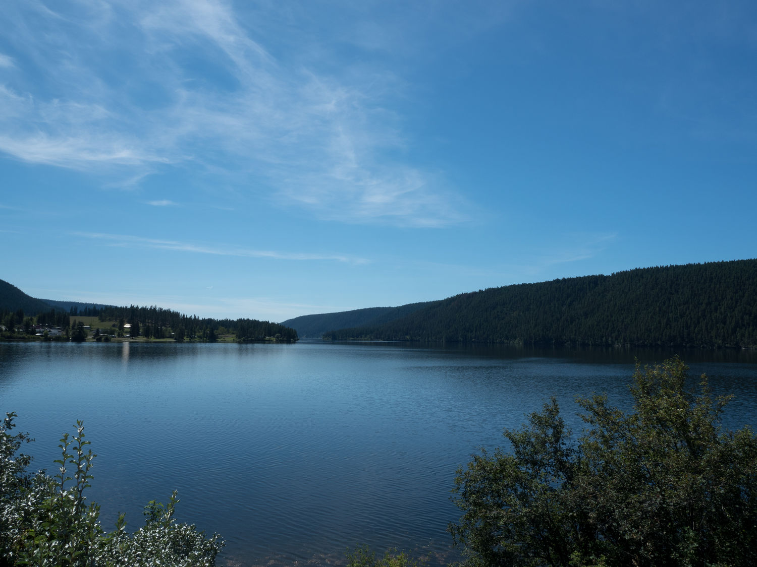
When we woke up, the weather had changed. Instead of seeing 14 C on the car’s thermometer, we were seeing lower twenties. We were surprised, but that wasn’t incredibly hot, and when we got out of the car for a bathroom break at McLeese Lake, the sun was pleasant and warm. The lake was a bright blue, and the bathrooms were clean. What more can you ask for, really?
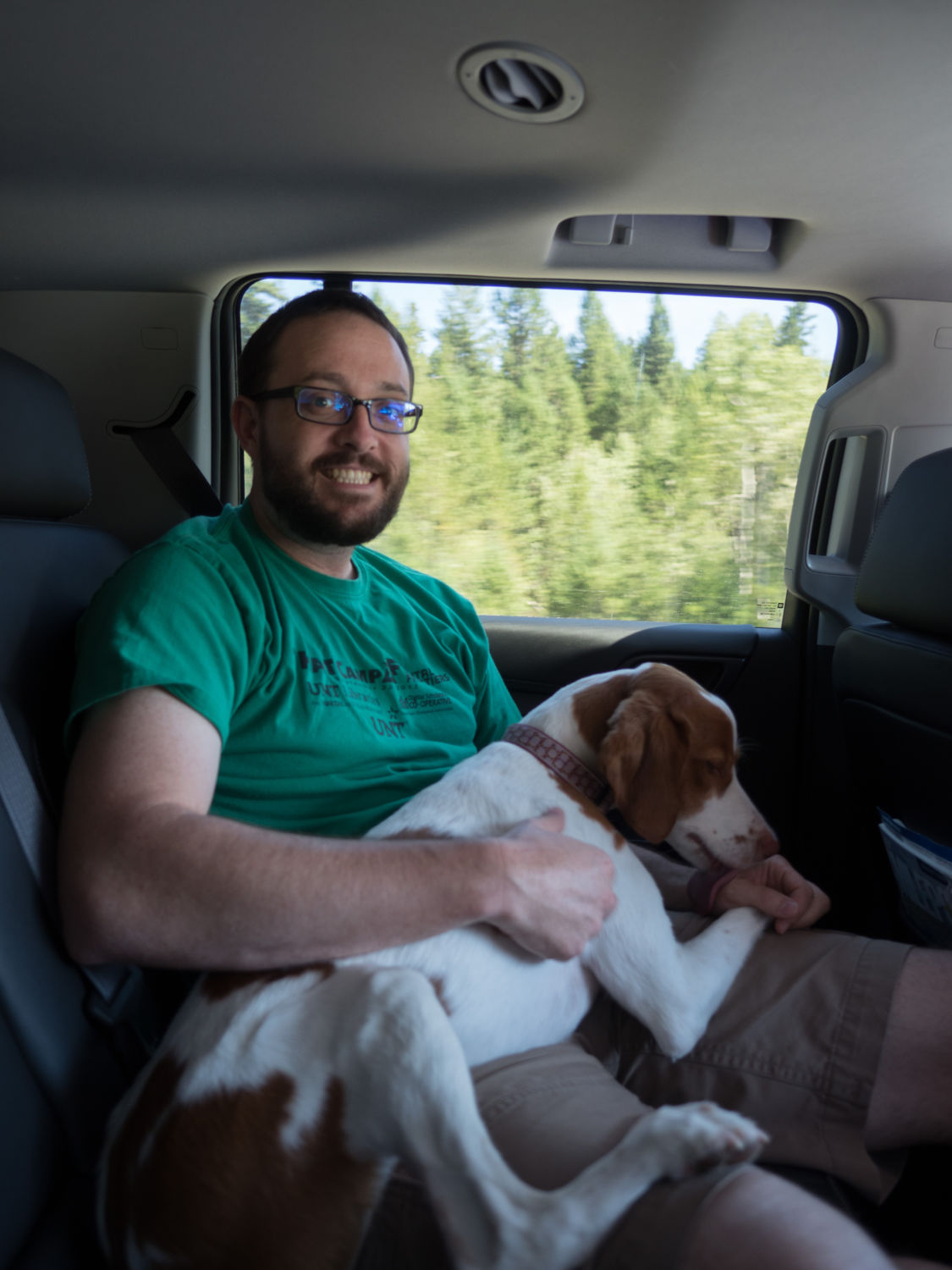
We drove on, and I returned to reading for a while. The towns in the area are all adorable and most of them sit on lakes. Mark pulled Ripley up into the middle seat with us, and she lounged happily in our laps for 30 minutes or so before we stopped for lunch in 100 Mile House. The area has a neat history, if you’re interested in reading about it.
My parents had Dairy Queen for lunch, and Mark and I had huge pitas. I couldn’t even finish mine. When we saw the ice cream my parents’ got with their meals, we really wished we’d gotten small pitas and ice cream instead. The big pitas were probably better for us anyway. Mom did bring us an ice cream cake sample, which was tasty and gave us a little sugar to end our meal on. Dairy Queens really look a lot nicer up here than they do back home in Texas.
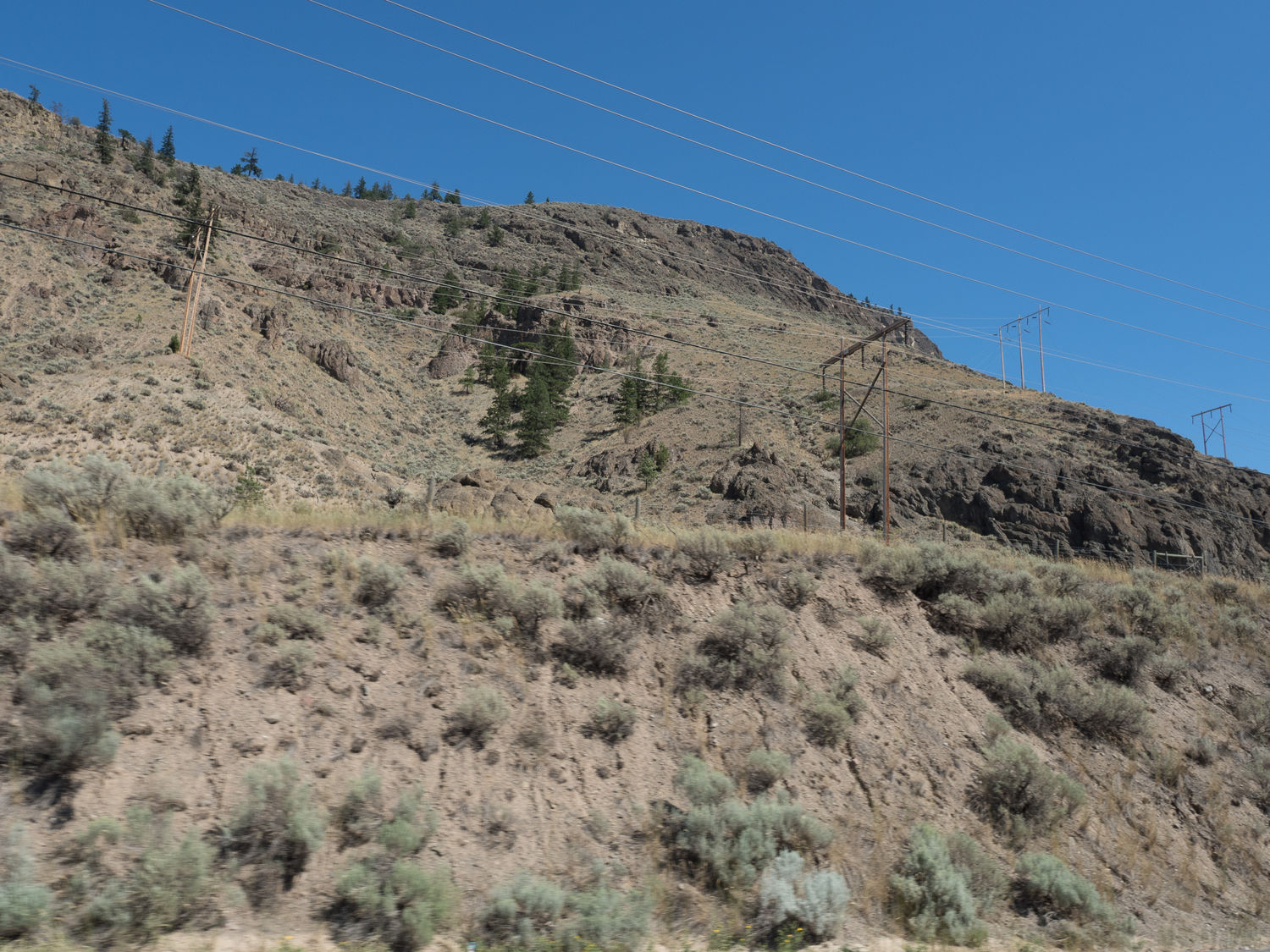
As we drove out of 100 Mile House, the temperature began to climb. Our surroundings changed. Suddenly we were driving through rolling golden hills that reminded us of parts of California. The hills gave way to desert-like conditions, which really surprised us. The temperature had reached nearly 100 degrees. We know Canada is having a heat wave, but we weren’t sure if the area was experiencing seriously abnormal heat, or if it was just slightly above average. The Milepost says the area is basically the “Arizona of Canada.”
We drove past fruit stands everywhere, and Dad and I were practically salivating and trying to convince everyone we needed to stop. Unfortunately, you can’t really cross the border with fresh produce, and we knew we couldn’t eat it all in a day. We were pretty disappointed though. The farms that grew the fruit were like little green oases in a sea of golden brown. That, too, reminded me of California. They had huge watering rigs running all over the place.
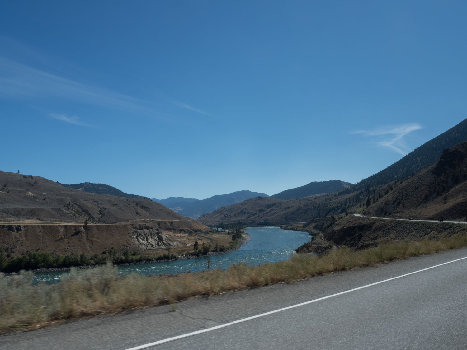
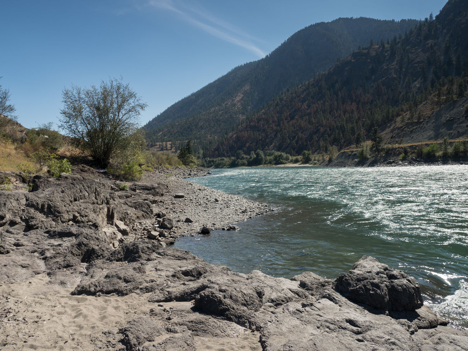
The valley we were in ran along a couple of rivers, and the first, Thompson River, was a deep blue green. By now, the weather was over 100 hundred degrees. We stopped to take some pictures of the river at a pull-out, only to realize we could drive down to the water. We followed a steep, rocky path that led a very short distance down to the shore. At the bottom, we found a family swimming in the shallow part of the river, where the water was the calmest.
Ripley, of course, took a little dip. Nobody else got into the water, but the family told us that the water was warm. Considering how hot we were, I’m surprised none of us wanted to at least get our feet wet. I guess we’re just lame like that. Ripley had enough fun for all of us, splashing in the shallows and chasing little flying bugs.

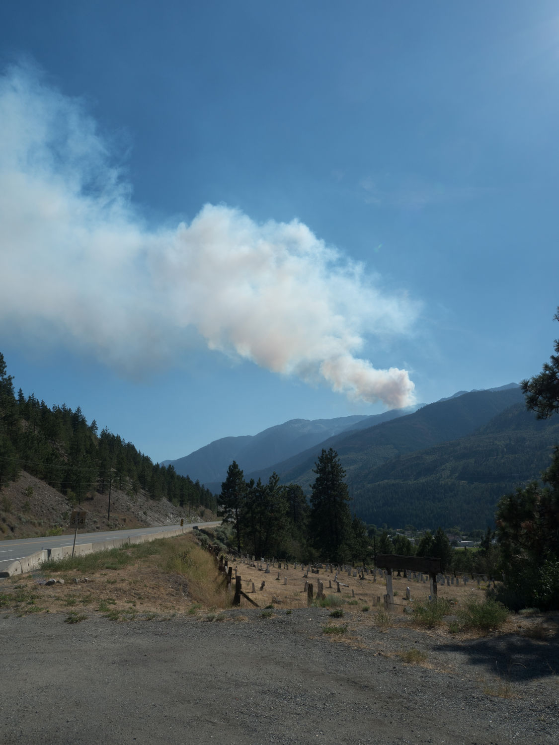
Around the town of Lytton, we came to the Fraser River, for which the valley is named. In Lytton, we saw two huge fire camps and a large forest fire off to the right of the road, up in the mountains. I’ve looked it up since then, and the fire is considered 100% contained as of yesterday. Still, the area is smoldering and helicopters are flying in and out of the city with huge loads of water to tamp down the hot spots. The fire danger is listed as “extreme” for the area.
The Fraser River is much larger than the Thompson, and the valley narrows a bit for it, so we started going through tunnel after tunnel along the highway. Some were short, and some were incredibly long. Mark likes tunnels almost as much as he likes bridges, so we got a few pictures of the tunnels as we drove through.
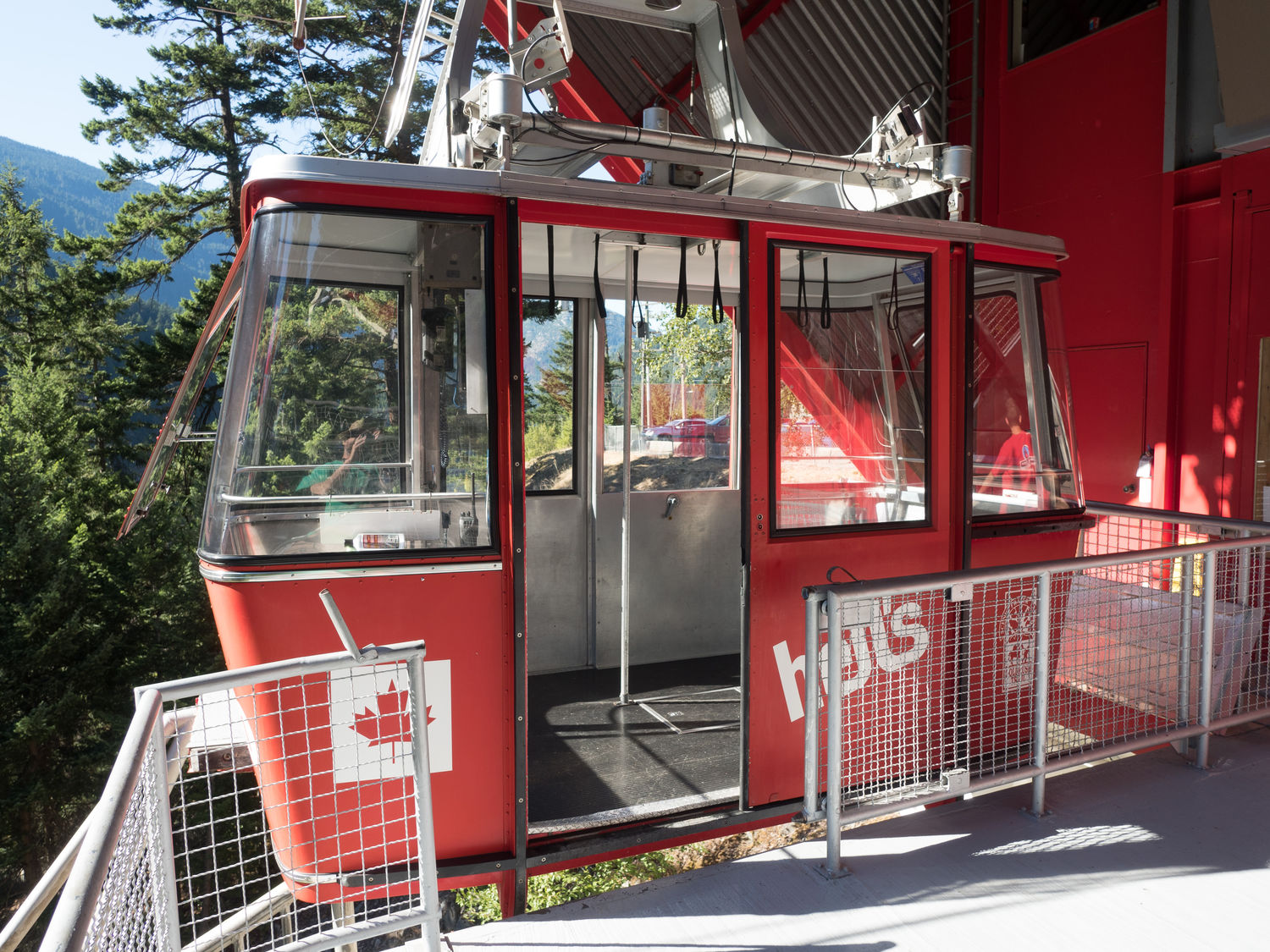
At the narrowest part of the Fraser River Valley is an airtram that heads out across the river to a little cafe. The tram looks over the river and out across the valley. The view is supposed to be really neat. From photographs online, it looks like a narrow rocky section that would be quite difficult for a boat to navigate. I’ve also read that it was the most difficult area to build the road and railroad tracks through along the highway we were on today. I can imagine, considering all of the tunnels.
The airtram closed at 5pm, and we arrived perhaps five minutes before. They weren’t running the trams anymore, but it looked like you could take your dogs across. You could also walk down to a pedestrian bridge across the river, but by now the temperature was over 104 F, and the sign said the hike was “strenuous.” We decided that sounded like a bad idea. The nice gentlemen at the airtram let us take some photographs from the tram platform and off we went.
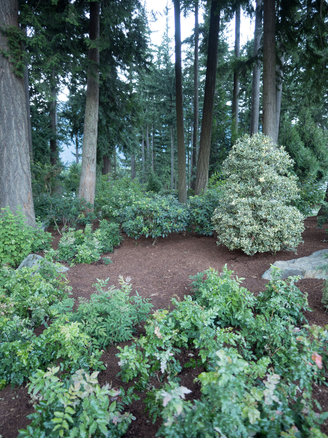
We made one more stop on our way to Hope at another bridge across the Fraser. The area was called the Alexandra Bridge Provincial Park. It had an old suspension bridge that the highway once crossed. Once again, we didn’t get to walk down to it. The weather just wasn’t conducive to doing anything outside for more than 5 minutes or so. We were sad, but we took some photographs of the pretty trees at the rest area and moved on.
Hope was only perhaps 25 miles from Hope, so we reached our destination not long after. We stopped into our hotel and dropped off our things immediately. The hotel is really cute, and the owner was a very nice woman. We stayed at the Park Motel here, and I would recommend it to others. The rooms are nice and the owner will bend over backwards to help you. It’s a great little place.
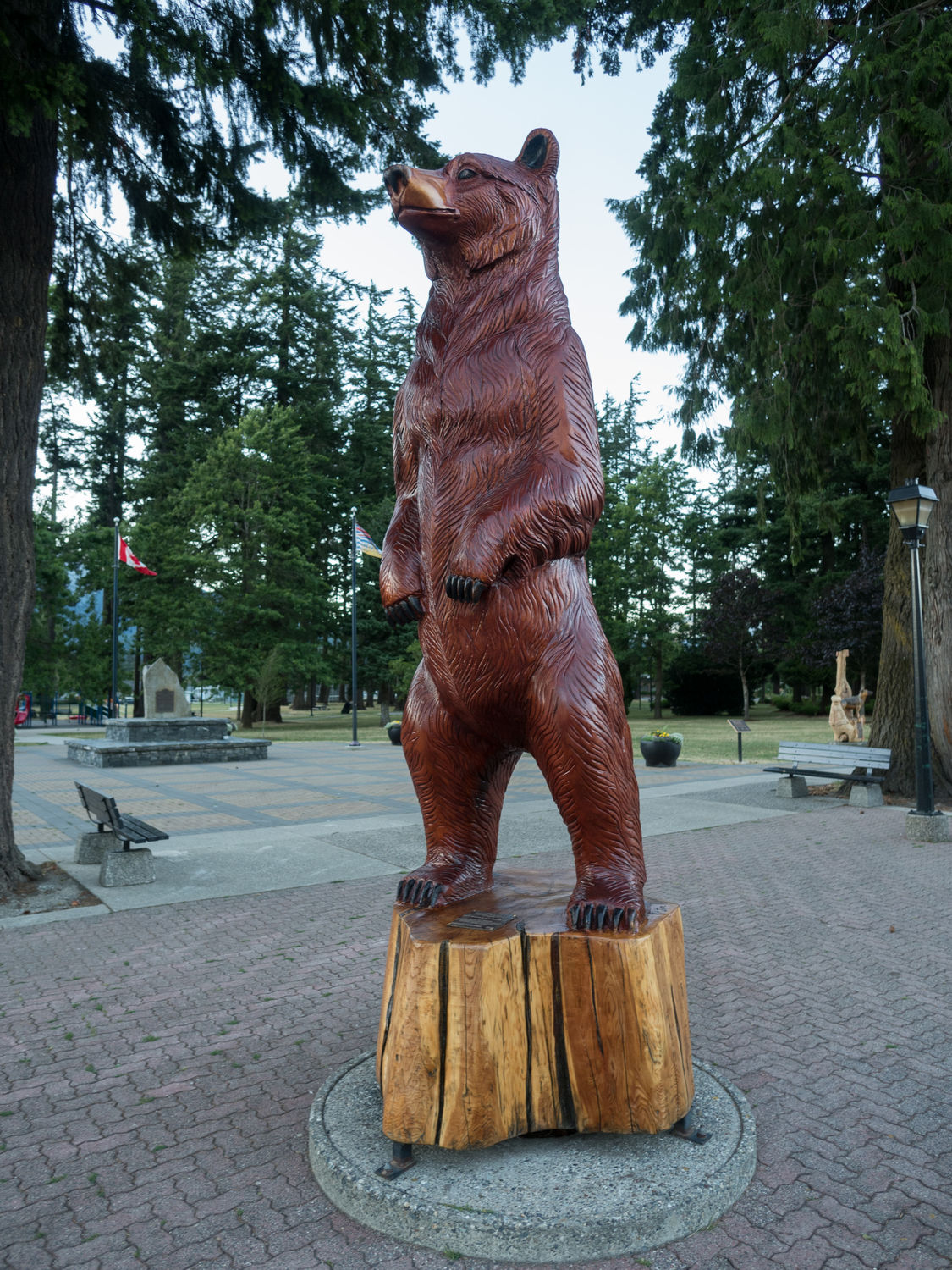
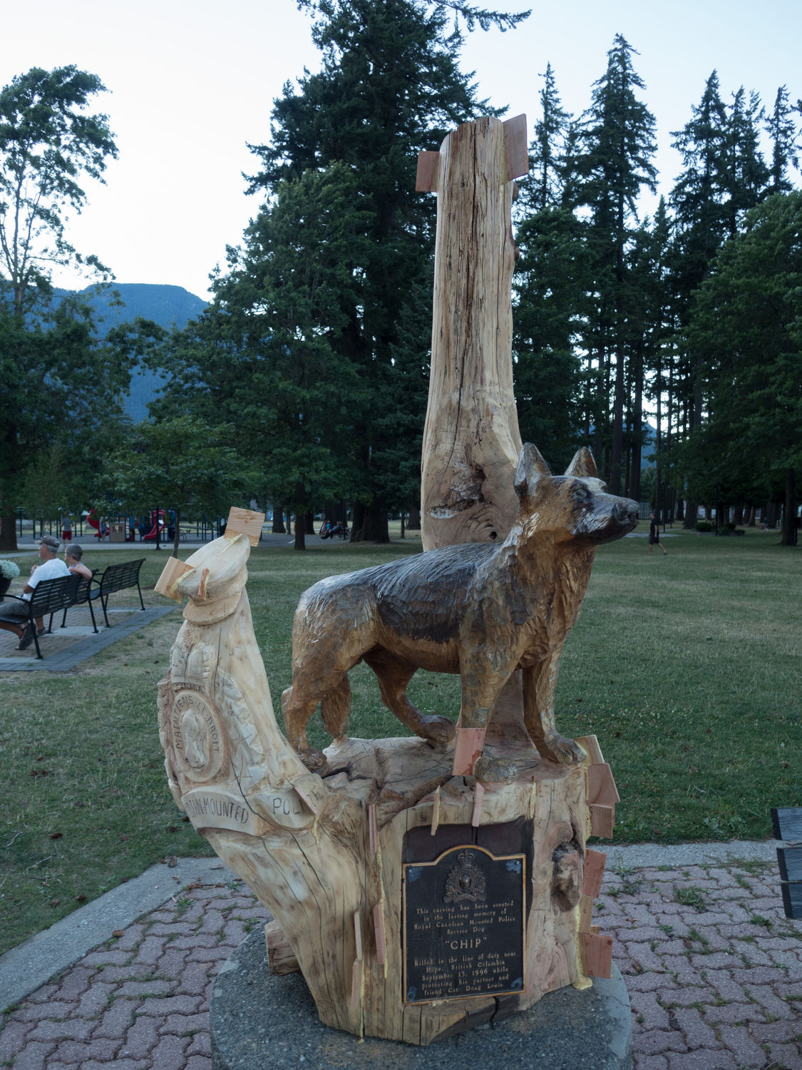
Hope is cute, too, despite what the border patrol officer insinuated a couple of days ago. The town is famous for its chainsaw wood carvings. They are all over the place here. We’ve drive through most of the town, and I think they are on every street corner in the older part of Hope. They have a competition here every year, from what I can tell. I was really impressed by how intricate chainsaw carvings can be. I can’t imagine the sort of skill that must require.
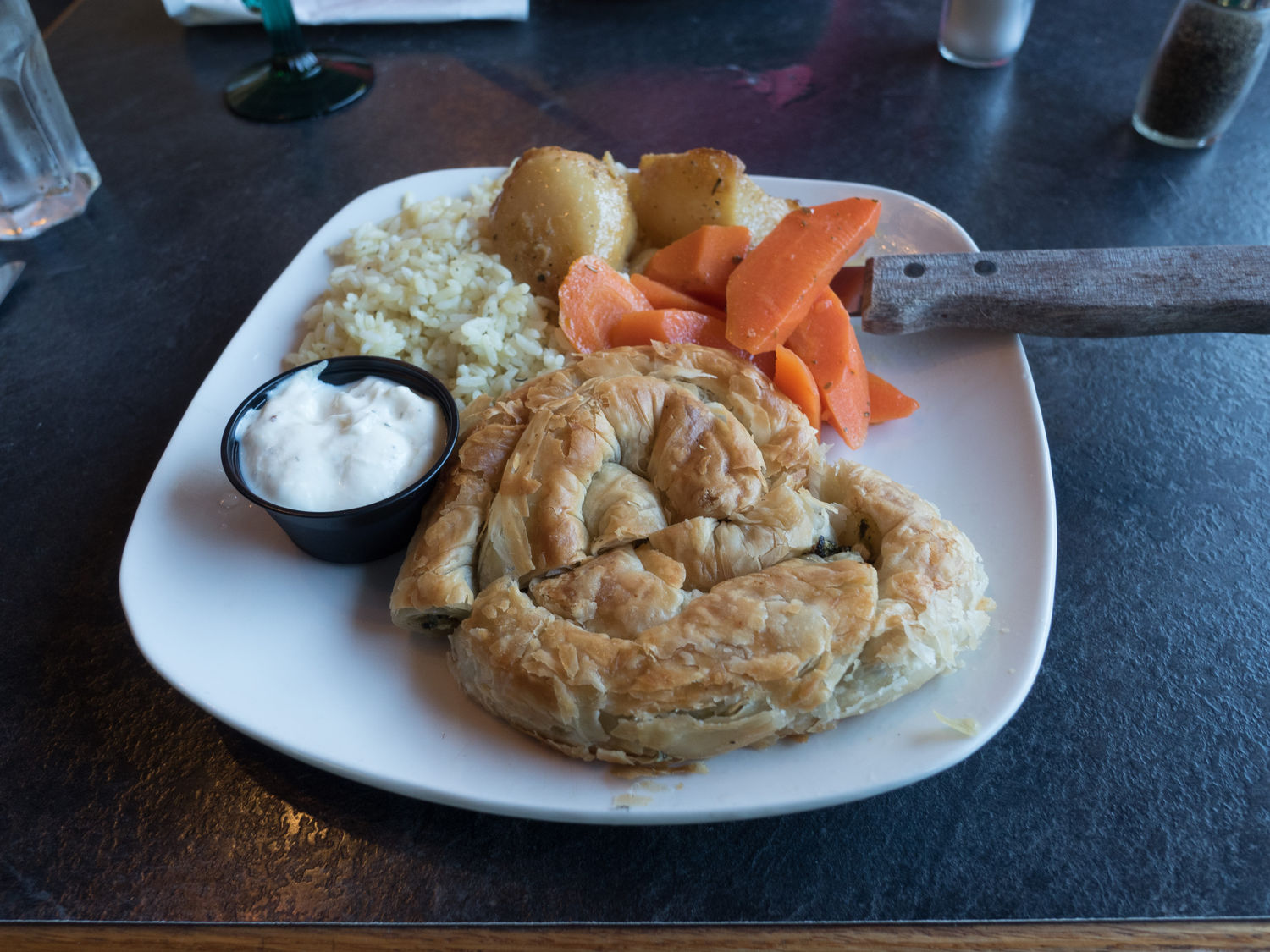
We grabbed dinner at a local Greek steakhouse, and then we walked out to the little park at the town center from our hotel to look around. It was filled with carvings, of course, and it had a playground and some seriously tall trees. The dogs enjoyed looking around, and we needed the exercise after our dinner. It was really good. You might have noticed, Mark and I had Greek for lunch and dinner. It was a good day.
Tomorrow is a really long drive. We’re getting up early and hitting the road. We’ll be back in the States within a few hours and should be stopping down in Idaho for the night. Now we are about to really start racking up the miles.
– Trip Total : 8,215 miles –