– Stovepipe Wells, California to Death Valley National Park –
Today, Mark and I got up bright and early to walk down the Mosaic Canyon Road to the mouth of the canyon to get our exercise. Like I mentioned yesterday, dogs are only allowed on roads, not on the park’s trails, so while Ripley couldn’t go back into the canyon, we thought it would be fun to get our exercise by walking the 2.4 miles back to the beginning of the trail.
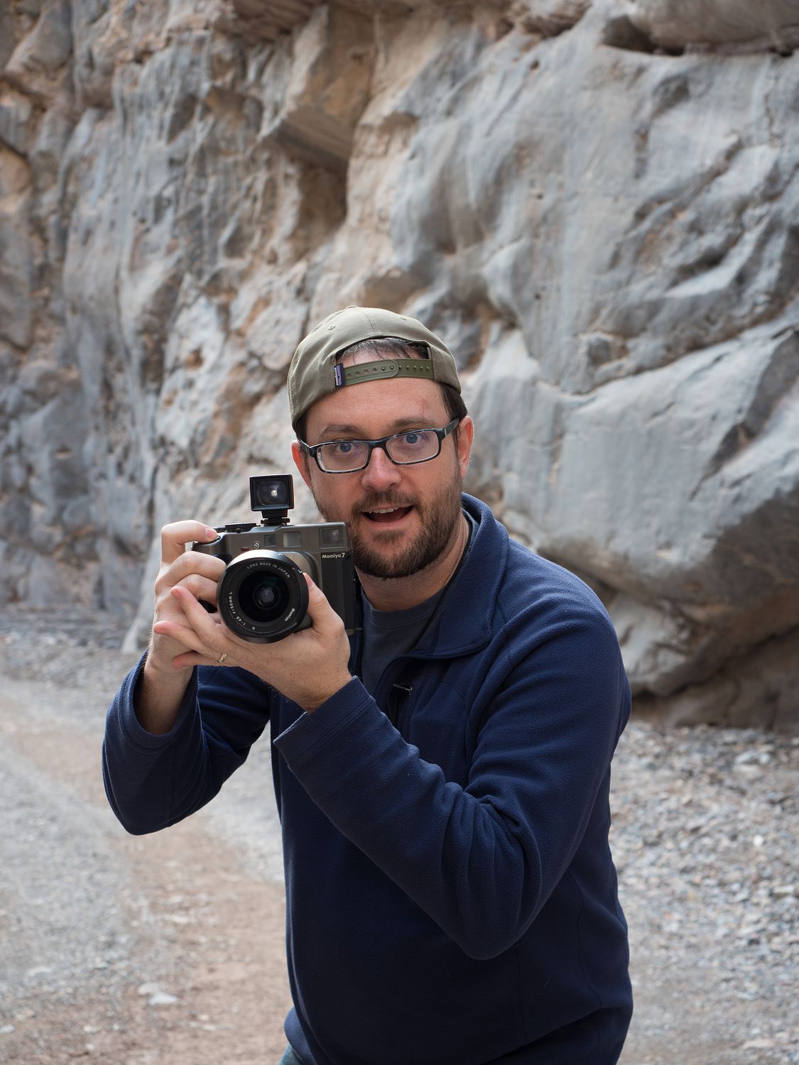
With our water bottles, camera, and puppy in tow, we trekked down the rough gravel road back to the start of the real trail. While it wasn’t as pretty as hiking into the canyon would’ve been, it was definitely fun, and with a total mileage of 4.8 miles, with the first 2.4 being uphill, it made for decent exercise. Ripley had a great time running up and down the little rocky berms along the side of the road.
It took until about 9am for us to hike up and back. We were surprised it was so late, since we had yet to really see the sun. It had barely crested the mountains, and it was still covered by the clouds. The weather in Death Valley can be pretty surprising. During the day in the main part of the valley, it’s in the mid-60s. In the morning, it’s only in the 40s. Depending on the elevation, the temperature can change rapidly, as well. We were wearing sweaters and shorts on our walk, but later in the day we needed jackets. Winter in Death Valley apparently requires as much preparation as summer.
Our hotel did not serve breakfast, so Mark and I had cereal and oranges, Dad had a microwaved ham sandwich from the little market, and Mom grabbed some snacks from the food tubs, although I can’t recall exactly which. Dad is still pretty sick today, so Mark did all of the driving.
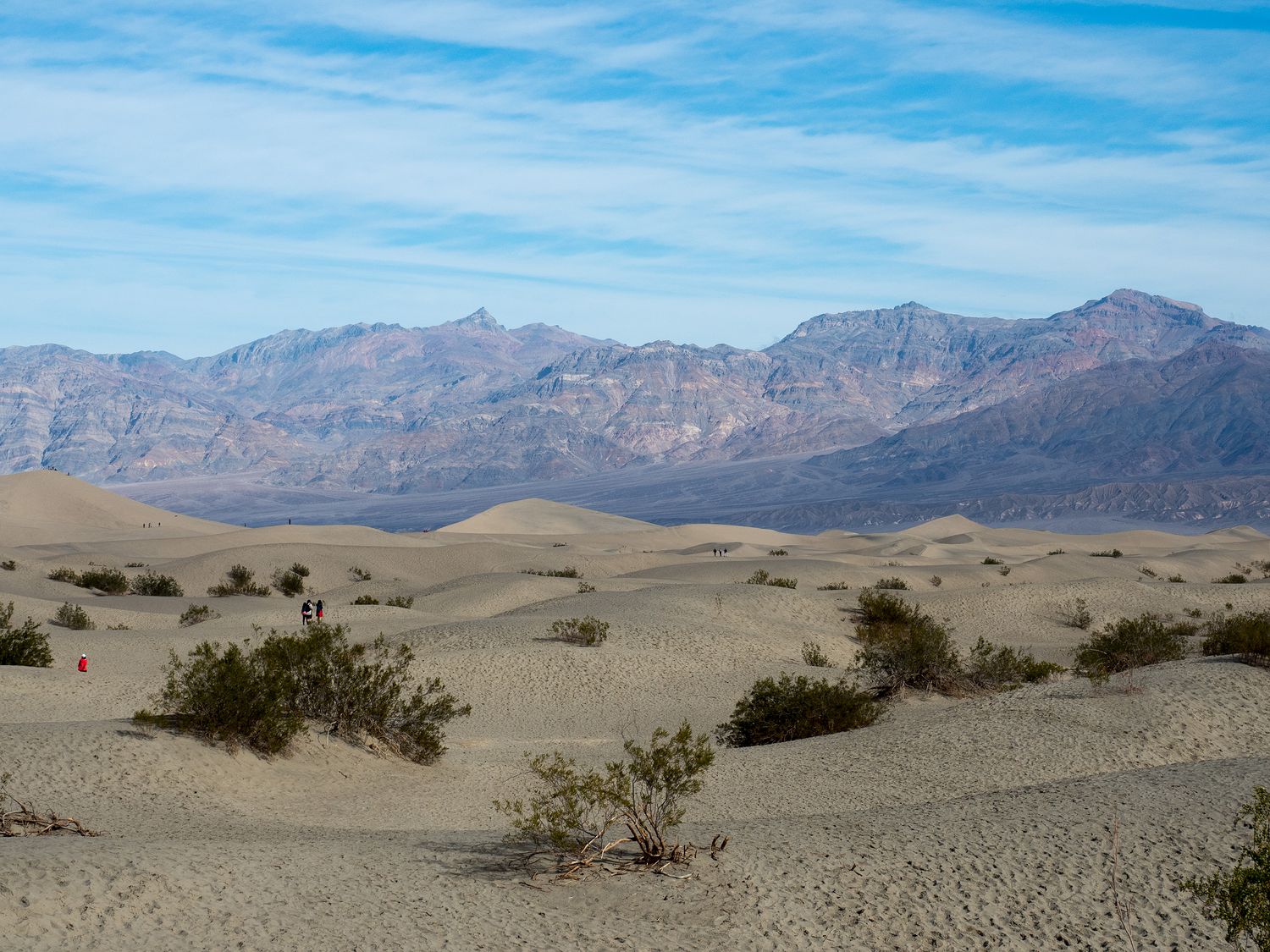
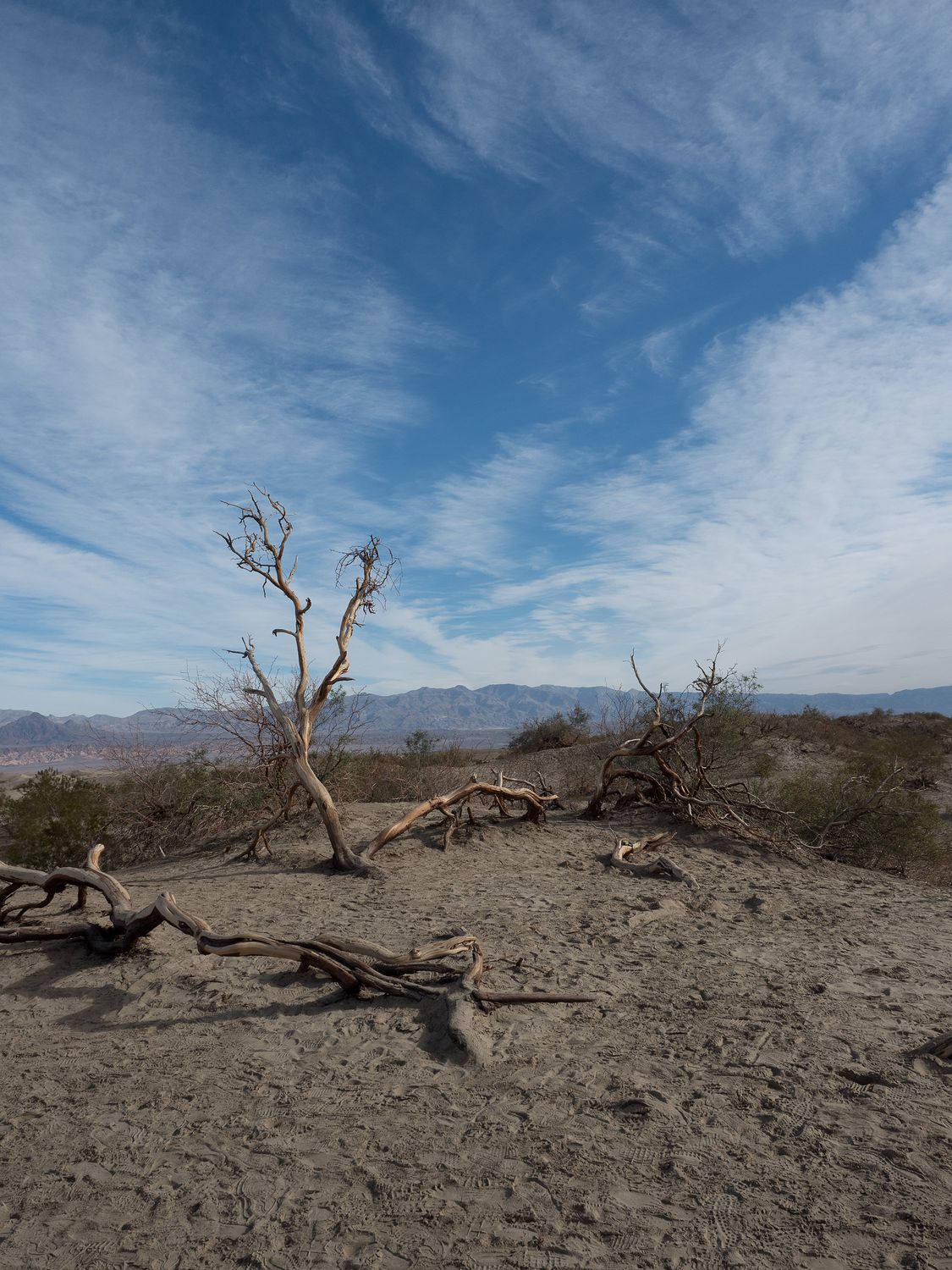
We rolled out of our hotel at about 10am and stopped almost immediately at the sand dunes, which were too dark to see last night. Death Valley has 5 sand dune areas, I believe. The one closest to our hotel and the most readily accessible is the Mesquite Flats Sand Dunes. The sand isn’t like what you’d find on a beach. It’s thicker and heavier, more like a solid dust than a gritty beach sand. It still gets everywhere, but it feels different in your shoes.
One of the most amusing sights in the parking lot for the dunes is all of the people carrying snow sleds. I’d say it was mostly children, but it wasn’t. At all. We almost felt left out. We didn’t end up walking too far out, since we didn’t want to bring home half a beach’s worth of sand, but everyone did venture out onto the dunes, save for our canine companions, of course. They were sadly not allowed.
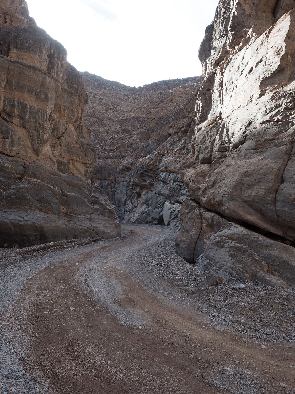
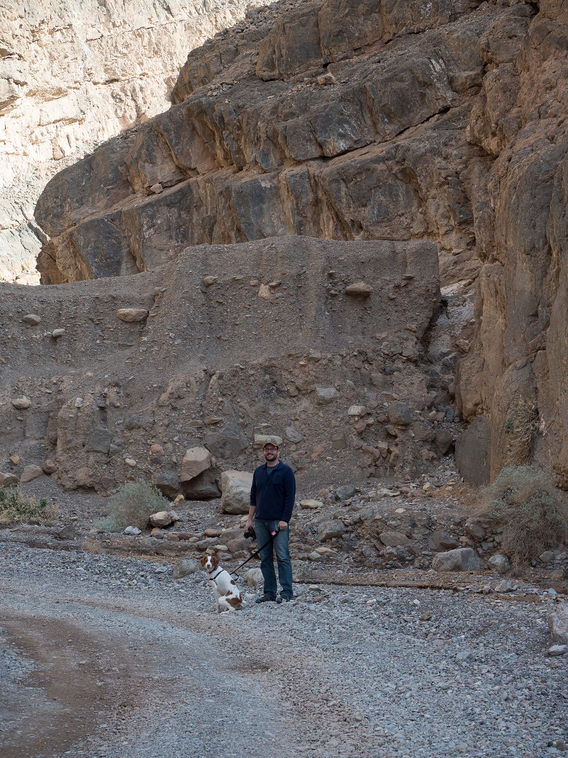
Past the sand dunes, we took the Scotty’s Castle Road north toward Titus Canyon, another walk that Ripley was allowed to take. With everyone along, we couldn’t be able to take it far, but we could definitely get back into the canyon. Titus Canyon has a one-way road that leads into the park. It’s a dirt road, and vehicles longer than 25 feet are not allowed. The road is rough, but not impassable. We saw quite a few cars coming down the road.
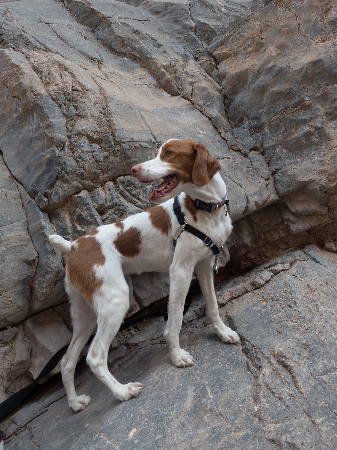
The first three miles of the road back to the canyon are two-way. Once you reach the mouth of the canyon, cars already inside the park have to park and walk back into the canyon on foot. We took Ripley and Sabre with us and all walked back a ways into the canyon. Dad quit on us first, then Sabre. Mom put Sabre into a little sling on her shoulder and continued down the Canyon until she also gave out.
Eventually, we all had to turn around. It’s gorgeous back in the canyon. It’s similar to what I remember Santa Elena Canyon in Big Bend looking like, minus the water. They are about the same width, from what I can tell. I’m definitely not an expert. Regardless, walking back into narrow canyons like that is really cool. The last 1.5 miles is considered the narrowest, so we saw the best part of the canyon.
Scotty’s Castle, which is up the road a ways from Titus Canyon, is currently closed because of flooding damage. I had never heard of Scotty’s Castle before, and we weren’t particularly disappointed to have missed it until I happened to read a bit about it for this very blog post. It turns out that Scotty’s Castle is a villa built in the 1920s that was never completed, as it was accidentally built on government land, and then the stockmarket crashed in 1929 before it could be completed. The national park didn’t purchase the property from its builders until 1970, years after the original owners had died.
The National Park Service used to give guided tours of the place dressed in period clothing, and they had a mystery tour that visited the lower levels, but unfortunately that’s all come to an end until at least 2019. They had a flash flood in 2015 (only 3 inches of rain!) that sent mud and debris into the visitor center and other structures. It’s expected to take that long to get everything cleaned up and workable again. What a mess.
Further down Scotty’s Castle Road, past the road to Scotty’s Castle, is Ubehebe Crater, and beyond that is Racetrack Road, which is an extremely rough 26 mile dirt and rock road back into the park between two mountain ranges. We had originally considered taking the road, but we decided against it in the end.
The road leads back to The Racetrack, which is a dry lakebed where giant boulders leave long tracks as they seem to float across the ground. It’s been a mystery how these rocks were moving across the lakebed, or playa, for ages. Some people have even suspected aliens and the like. The truth seems even stranger, and scientists only discovered it in 2014.
From the National Park website, and the Scripps Institution of Oceanography, “First, the playa fills with water, which must be deep enough to allow formation of floating ice during cold winter nights but shallow enough to expose the rocks. As nighttime temperatures plummet, the pond freezes to form sheets of “windowpane” ice, which must be thin enough to move freely but thick enough to maintain strength. On sunny days, the ice begins to melt and break up into large floating panels, which light winds drive across the playa pool. The ice sheets shove rocks in front of them and the moving stones leave trails in the soft mud bed below the pool surface.”
Pretty cool, right? Unfortunately, it takes a pretty serious 4×4 to make it down the road. I think Mark wants to rent a Jeep sometime and actually do it. We will see.
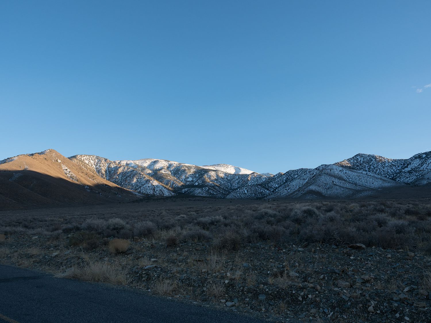
In any event, we didn’t go that way, but we did stop at Ubehebe Crater. The crater is about half a mile wide, and 800 feet deep. It’s particular type of crater is called an explosion crater or maar. It was formed when magma from volcanic activity superheated water in the rocks below, flashing the water into steam. The sudden increase in pressure threw the rocks above out of the crater violently.
It was cold at Ubehebe Crater, and the elevation was much higher than other portions of the park. The wind was sharp. The crater has a trail that leads all the way around its rim, and another that leads down into the crater itself. I never got close enough to see the trail to the bottom, but Mark swears it’s there. I guess I have to believe him, since I saw people suddenly appearing from the crater’s edge.
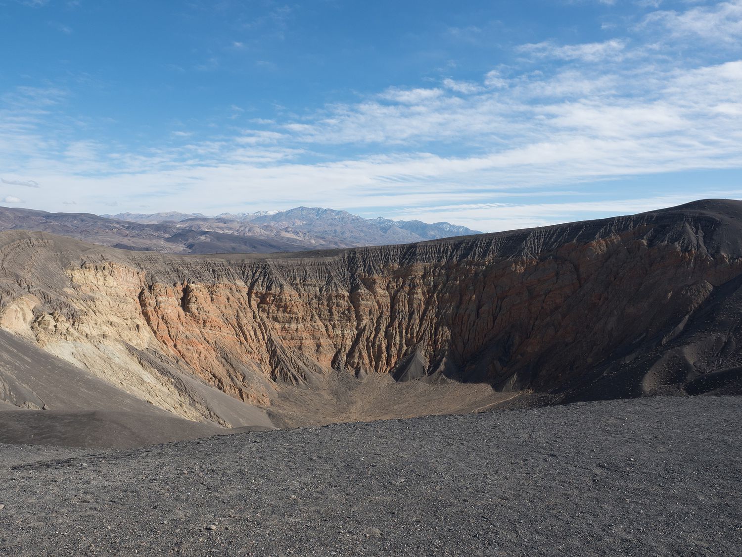
I have to say, I wasn’t expecting the crater to look like that at all. I was expecting something wider and flatter, like other craters you see. I was also surprised by the way it was formed. I’ve spent today becoming more and more impressed with just how cool Death Valley really is. It isn’t just one of the hottest places in the world. It’s gorgeous as well.
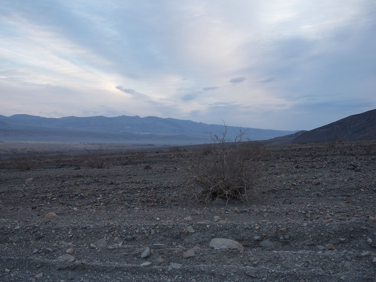
Once we’d finished the tour of the crater, we drove back down the road toward our hotel again. We stopped about halfway along the hour-long drive back down to eat our lunch in the car. We mostly had snacks, since we weren’t really prepared to have anything else, and we didn’t find any picnic tables where we could make our own sandwiches. It’s pretty desolate up there.
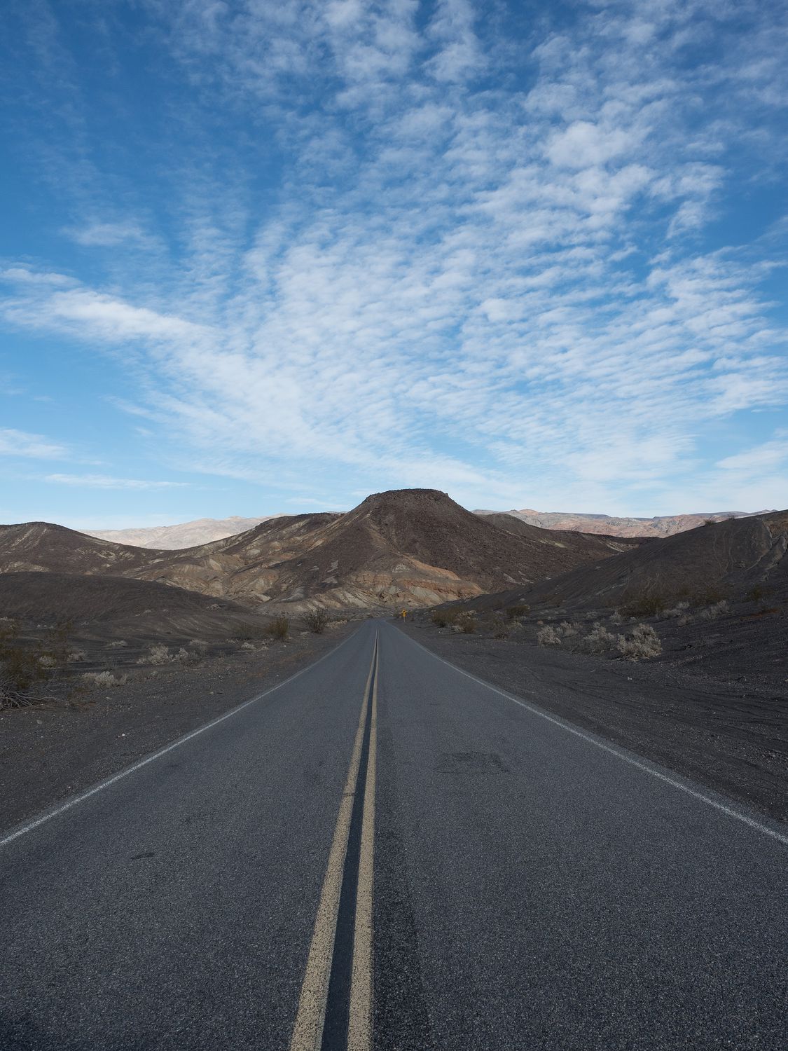
After a quick stop at our hotel for a bathroom break, we pushed on in another direction, taking Emigrant Canyon Road south towards the Panamint Mountains and several other park features. It’s a long, lonely road. We didn’t see many other tourists heading that was along with us.
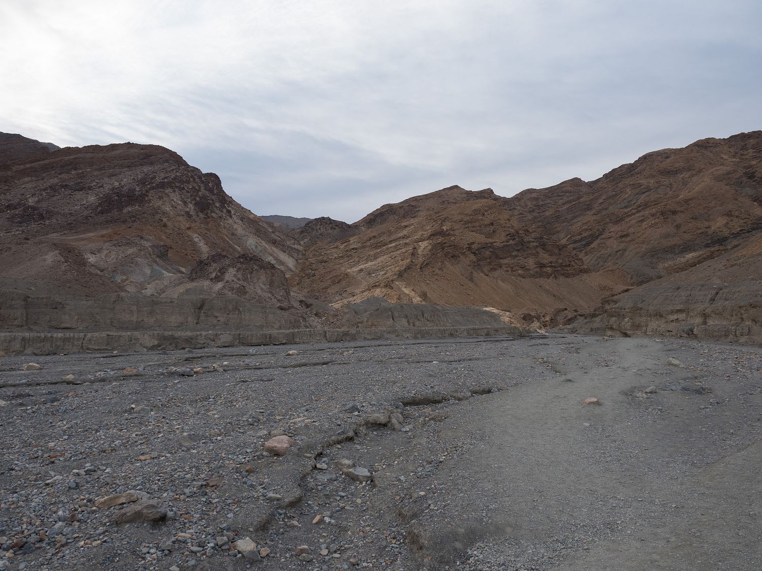
Our first stop was at the ruins of Eureka Mine and the ghost town of Harrisburg. Death Valley had a very brief gold boom some time ago, and only one man really made any money off of the many mines dug through that area of the park. The mine was mostly played out when he passed away, but it supported him for 45 years, according to the signs in the park.
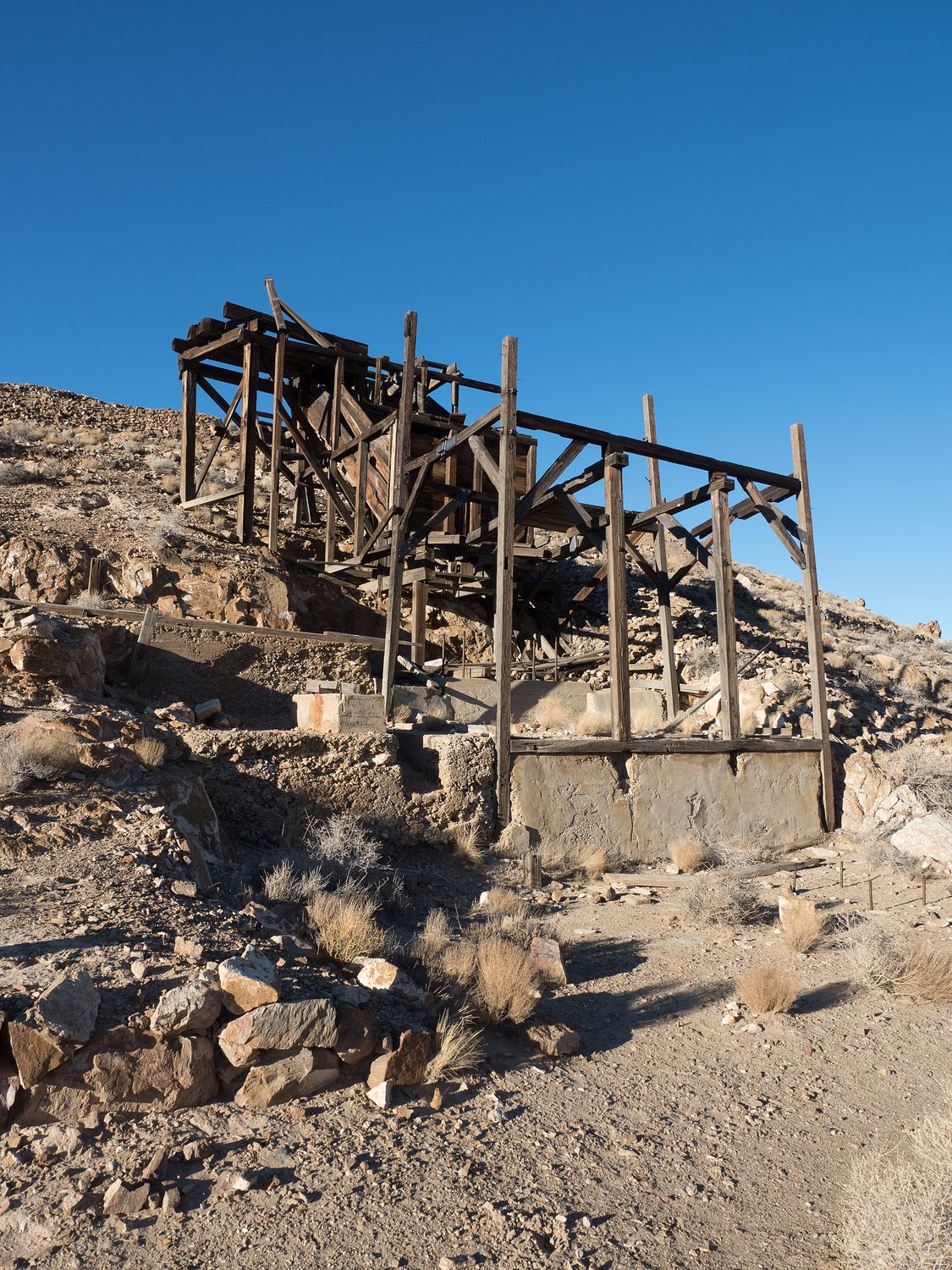
The ruins of the mill were interesting, and we got to see back into one of the mine shafts, although it was fenced off. A sign told us that the mine was now occupied by a rare species of bat, and having humans visit the area would upset them. Other mines in the park area are not closed off, but I think you can still get into this one in other ways. We weren’t going to look for them, anyway.
The remains of the houses nearby in the ghost “town” of Harrisburg were fun, too. It ended up being about 3 real buildings, an outhouse, and a collapsed shed or two. We saw a few old refrigerators, a shower, a toilet, and a water heater, among other odds and ends. It’s so strange to see ruins that look like a home you could still see today. Only one of them was that nice, of course. The other two were quite a bit more rudimentary. The owner’s house, perhaps? The signs weren’t clear.
The further we made it down the road, the more snow we began to see. Our elevation was climbing fairly rapidly, with our summit at Emigrant Pass a respectable 5,318 feet. One of the roads back in the area was even closed for weather conditions, as it crossed over the big, snowy mountains and out of the park.
Just after we turned onto the road back to the Charcoal Kilns, which was our intended destination, we were flagged down at the Wildrose Campground. It’s a rough campsite just at the base of the closed road over the mountains. Several people were stranded there with a dead battery in their minivan. Luckily, they had camping gear, because we were not carrying jumper cables. They were heartbroken when they realized that the first vehicle they’d seen in ages couldn’t give them a jump.
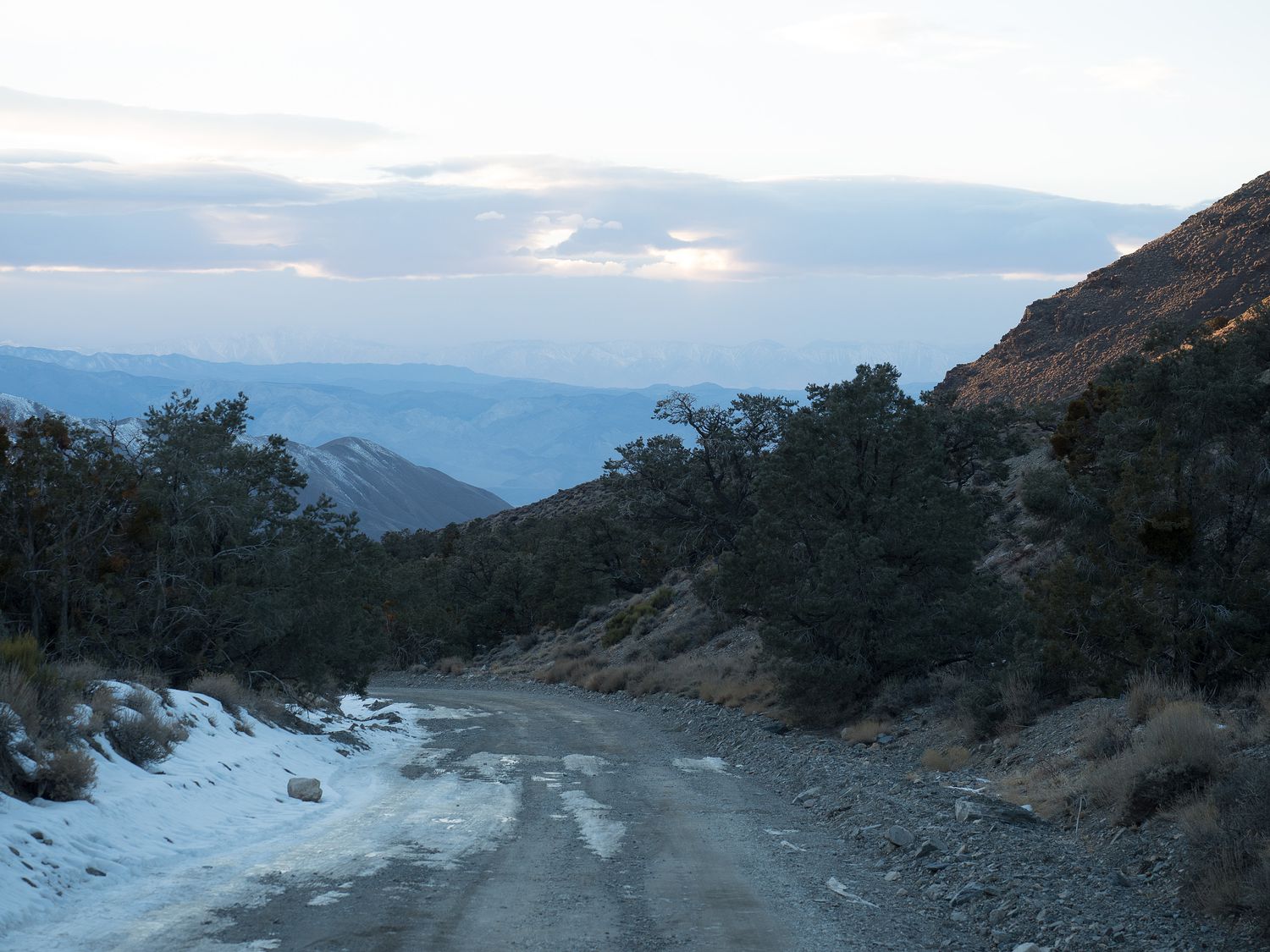
In the end, we couldn’t even make it up to the Charcoal Kilns. We got within a half mile before the road simply became too icy for my mom to bear. Mark and Dad wanted to go on, I think, but mom really put her foot down. We drove back out in the growing darkness. About halfway back down the road, we came across a Toyota FJ pulling a little teardrop trailer. We flagged them down and told them about the stranded minivan, and they happily told us that they did indeed have jumper cables. Good deed for the day, done.
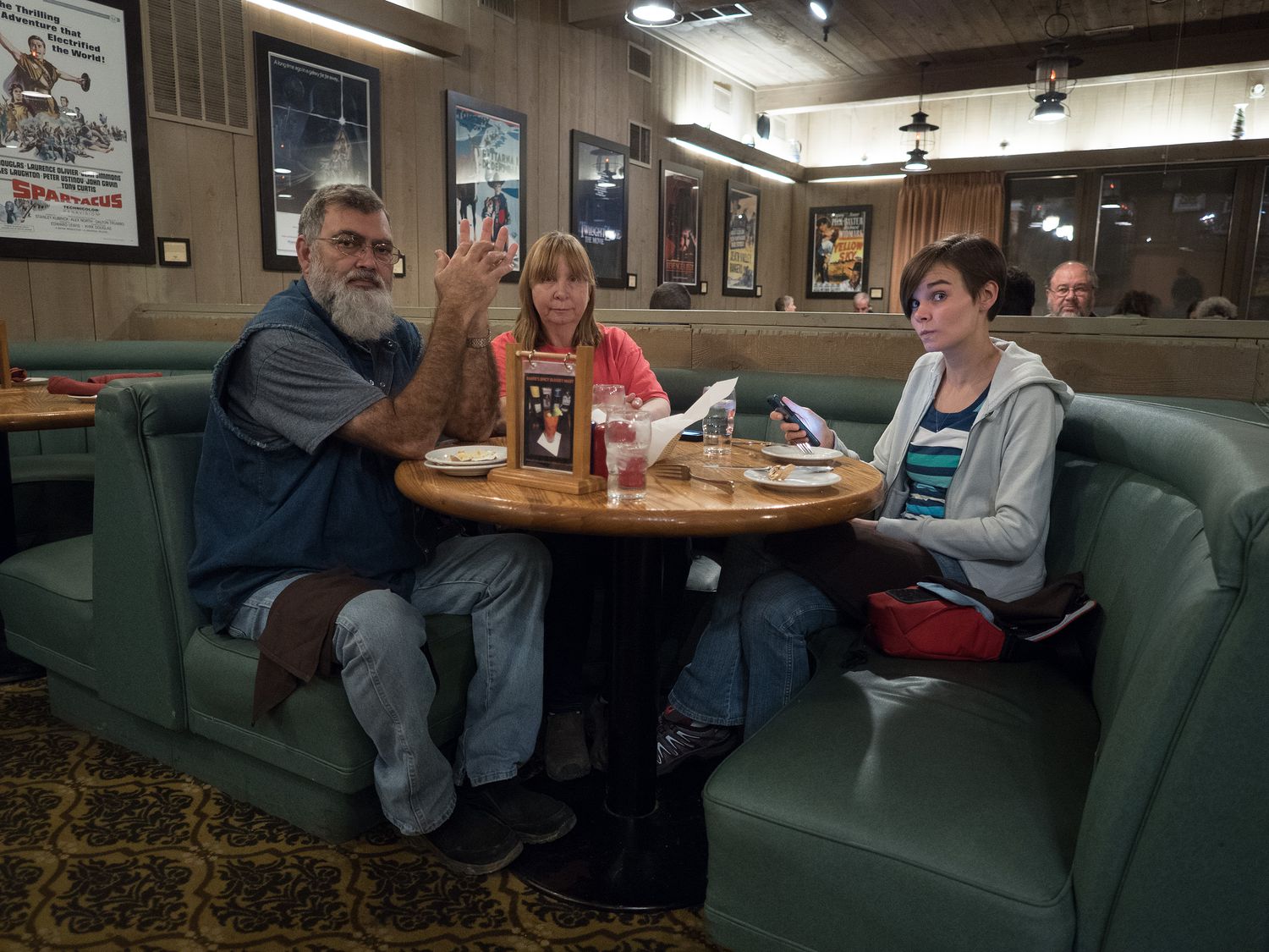
It was around 6pm when we made it back to the room. We walked over to the restaurant for dinner, instead of the saloon this time. It was a decision I would come to regret. My parents got their burgers again, despite the changed menu, but Mark and I ordered something different. He had a salad, and I had a mushroom and sundried tomato pasta. Mine, in particular, was terrible. It was just melted butter with garlic over canned mushrooms, freeze-dried tomatoes, and rotini that had been boiled for far too long. To say I was disappointed would be an understatement.
Tomorrow we will wake up and pack our bags. We have a few more things to see in Death Valley on our way out. We’re staying in Primm, Nevada at another casino. It’s in the middle of nowhere, so I hope it turns out to be okay.
– Trip Total : 1,874 miles –