– Gunnison, Colorado to Montrose, Colorado –
Today is our Black Canyon of the Gunnison National Park day. We’re going to do both the North and South rims of the park. Pretty cool, right? They don’t meet in the middle, so it will take most of the day.
We started our morning with a run through Gunnison. We never found out what its called, before we went, because the internet doesn’t dare speak its name. Maybe the locals don’t want people to know about it? I couldn’t say. Regardless, we couldn’t find anything about it on the internet. It was only by luck that we drove past one of the entrances along the road and realized it was there.
With that scanty bit of information, Mark was able to find it on the satellite map. After even more searching tonight, Mark now tells me it is called the Van Tuyl Ranch Trail. Even without its name, we managed to find the parking area on the map and roughly estimate how long it was. It was a very nice trail, too: wide and flat, covered with small, light gravel and sand, but firmly packed. It runs through farmland. We saw sheep, cows, horses, and mules in the fields on either side of us. I now suspect that the whole thing must run through a single ranch, given the name.
After our run, we returned to our hotel for a shower and some breakfast at the hotel (leftover pizza: don’t tell our moms). With the car packed up, we made a few stops to fill up our gas tank and buy some ice and tea for our cooler. We were running a little low on drinks, so we wanted to stock up before we found ourselves in the middle of nowhere late in the day.
Our route took us north out of Gunnison towards Crested Butte. Since the north and south rims of the canyon aren’t connected, you have to go about 3 hours around on either side to get from one to the other. From Gunnison, you can take either route around the canyon to get to the north side in about the same amount of time. We decided to go through Crested Butte, because it is adorable.
It’s a small touristy sort of town with tiny shops lining the main street, more bicyclists than cars, and water bowls for all of the dogs on the streets. Somehow kitschy little stores that wouldn’t survive anywhere else seem to thrive in the town’s center.
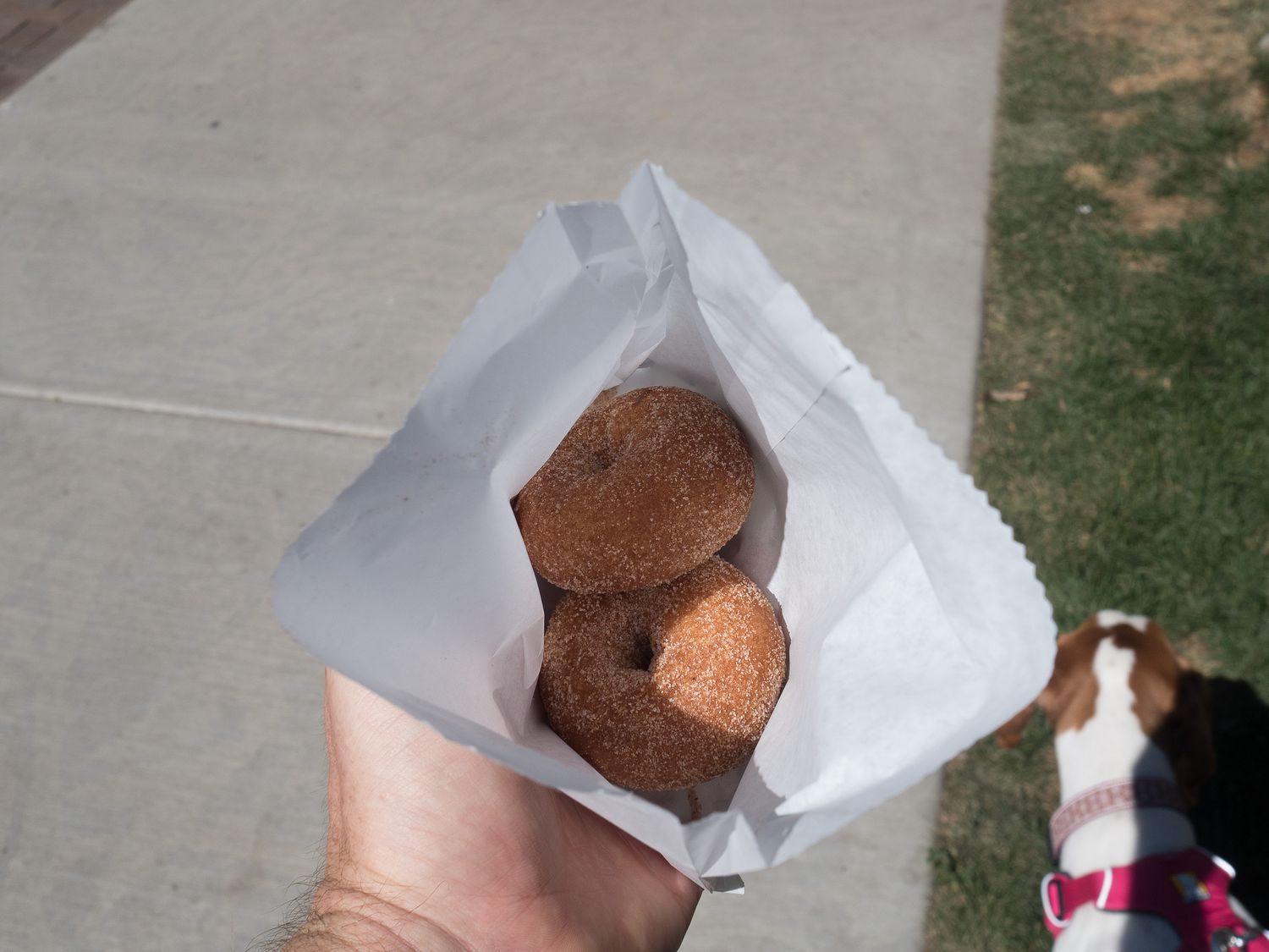
We spent perhaps an hour in Crested Butte walking down the main drag, with a purchase of 2 miniature cinnamon donuts about halfway through. The delightful smells coming from the bakery’s open doors tempted us inside. And yes, all they sold was miniature donuts. They seemed to be doing just fine at it though. They were great little donuts.
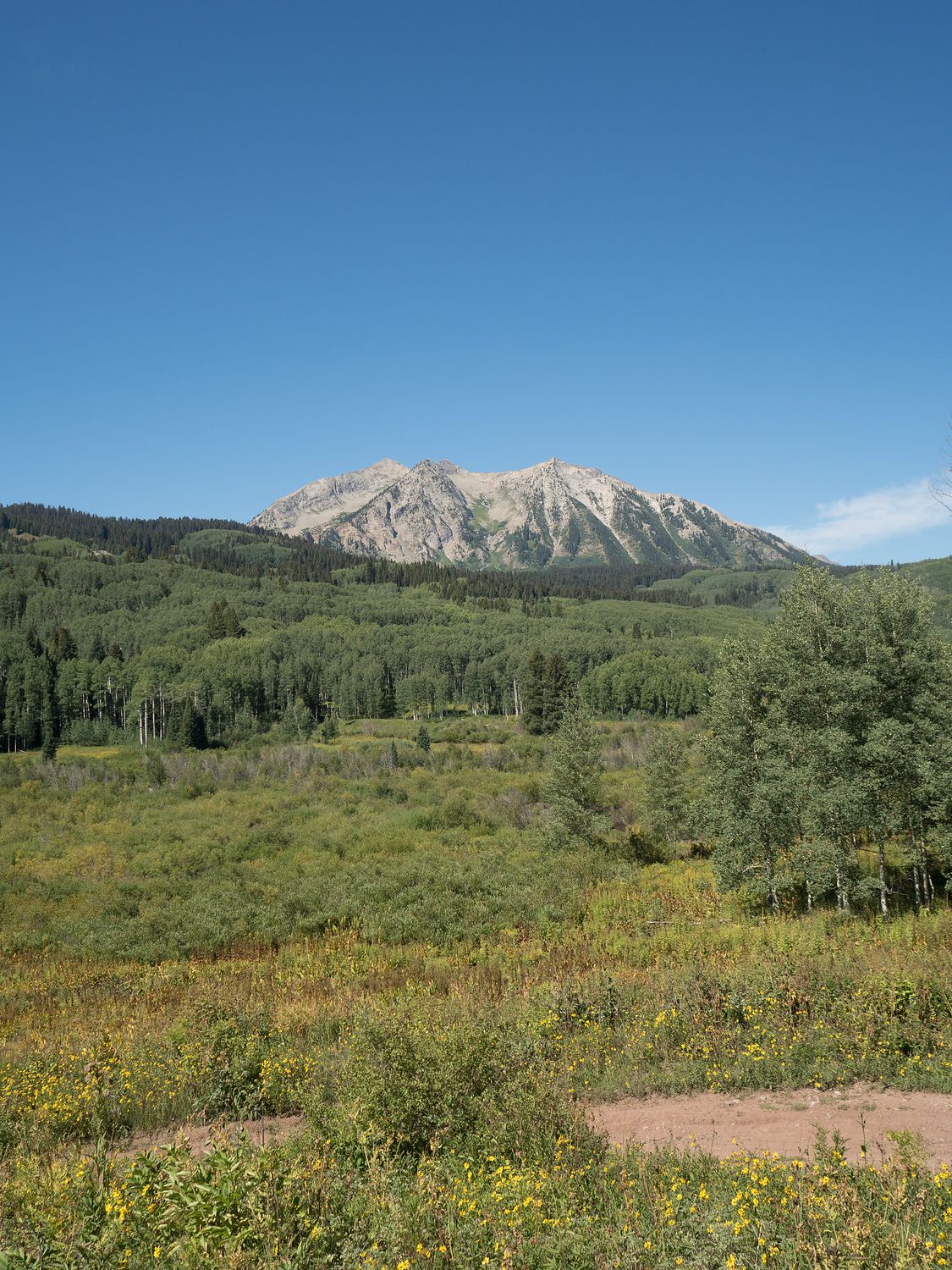
Once we had seen everything we wanted to see in Crested Butte, we hopped back into the truck and headed up Gunnison County 12, or Keebler Pass. The road is mostly dirt and gravel, with a few paved sections near the top. It summits at about 10,000ft, with delightful views of the mountains along the road. It moves pretty fast for a gravel road, with cars passing us frequently because we didn’t want to go as fast, but the views were well worth the (minor) risk.
The eclipse passed over while we were going over Keebler Pass. The light went a little funny, but that’s about all we noticed. We hadn’t purchased glasses or anything to see it, because we weren’t particularly interested, but it was fun watching the light change as the moon passed.
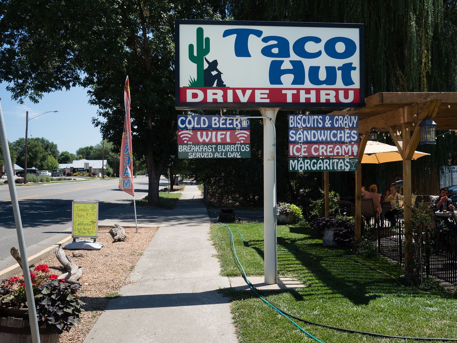
By the time we got to Hotchkiss, we were hungry for our lunch, and stopped at the first place we saw that looked even remotely promising. Luckily, The Taco Hut did have some vegetarian options, and we came away with delicious veggie burritos smothered in red chile sauce. Before we saw them, we assumed they were normal sandwich size and fetched our chips from the food tub to have alongside. It turns out that the burritos were massive, and chips were definitely not necessary. They were pretty good, too! We stopped to eat them in a little parking area off the road a ways, since the tables outside were full.
After lunch, we continued down the road to Crawford, where we took the loop out to see the town’s most obvious feature, Needle Rock. Oddly enough, it doesn’t seem to be too built up, despite its imposing stature. We were expecting at least a parking area and a trail, but really it just had a little gravel hump in the road for parking and a sign so old that bees had taken up residence and built a nest inside the glass.
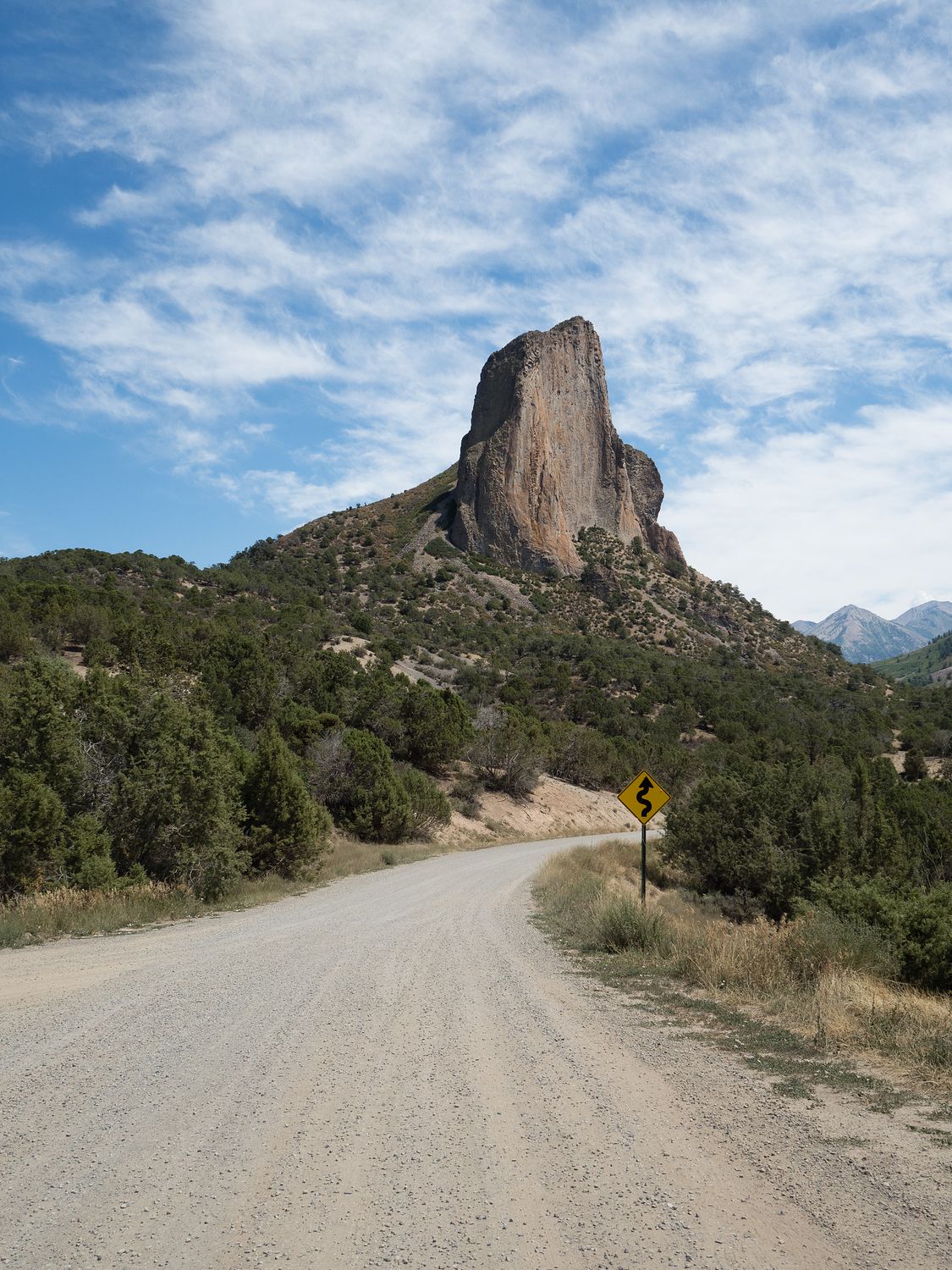
Regardless, Needle Rock was interesting, and I’m glad we went by. It’s hard to get a sense of how big it is from the photograph here, but from the canyon bottom, it is about 800ft tall. The internet tells me it is a volcanic plug, which means it probably used to have a softer rock surrounding it that has eroded with time.
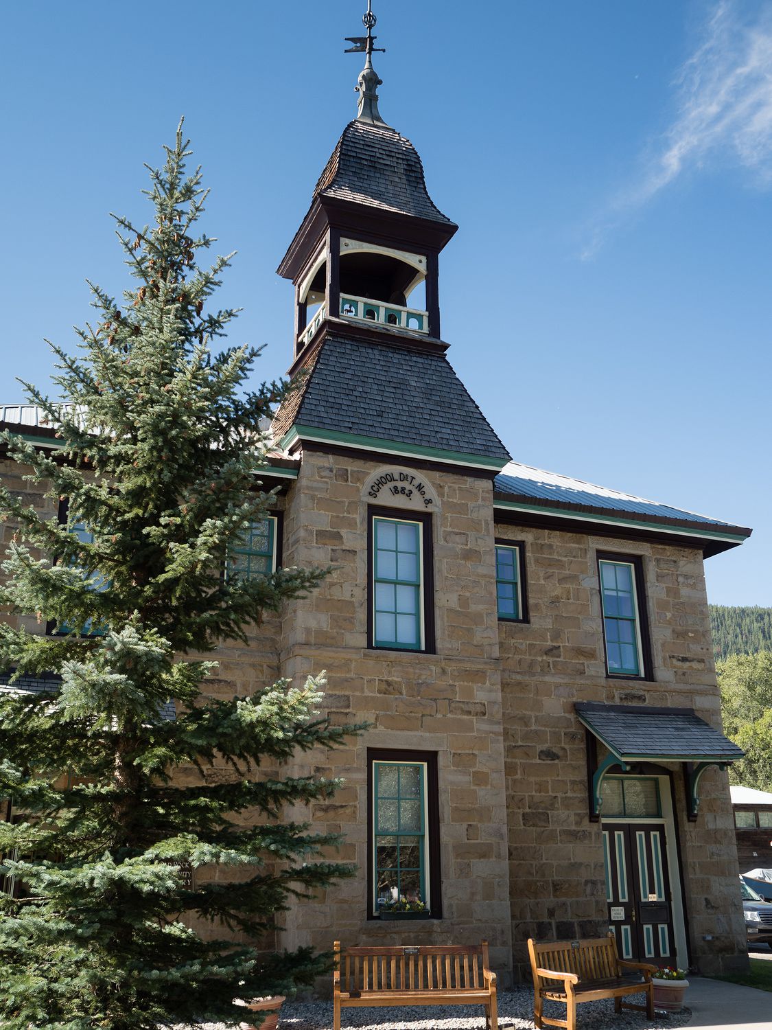
Coming back out of Crawford, we took a series of dirt roads back into the North Rim area of the Black Canyon. We stopped at the ranger station first, to get a map and maybe a North Rim stamp for our national park stamp book, but no one was there. Luckily they’d left a stack of maps (and about 100 solar eclipse glasses that no one needed anymore) on the porch.
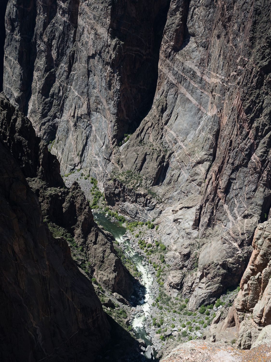
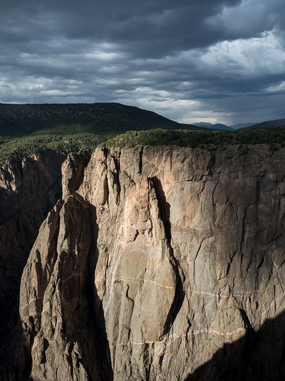
We walked out a ways for a view of the canyon from that side, which is a bit different from the views on the opposite side, where we’ve been before and would go later today. The altered angle of the light really changes the way you see it.
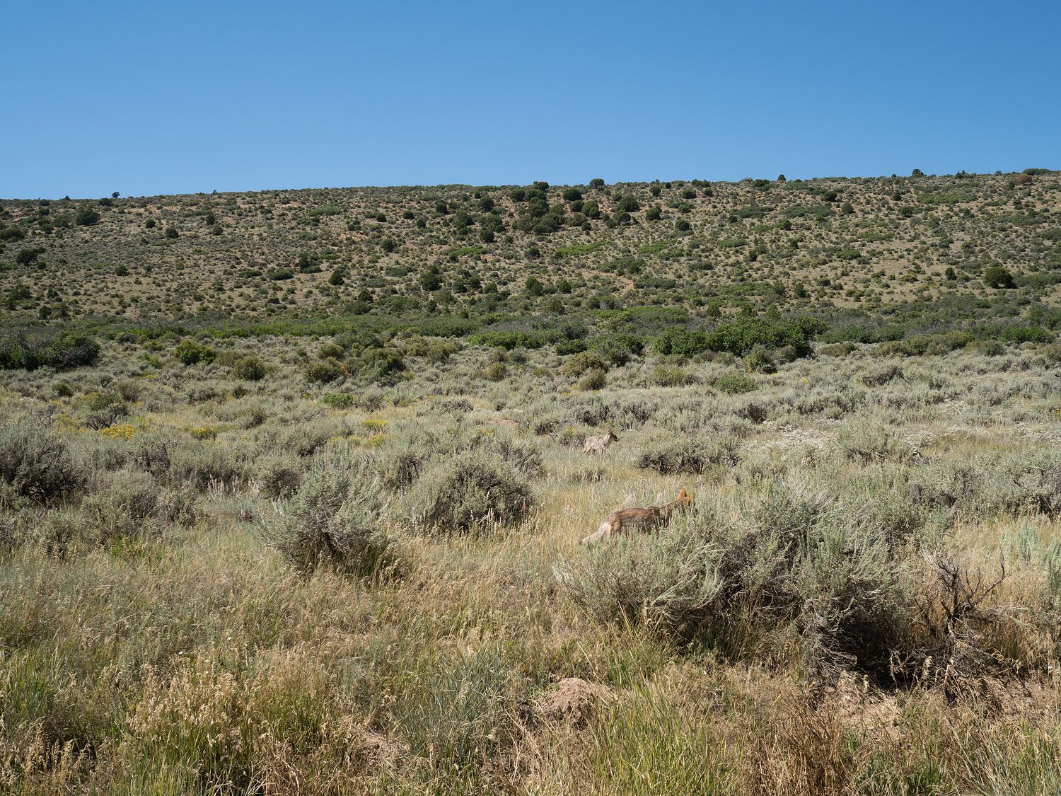
As we were driving away from the canyon, we came across a coyote just trotting down the dirt road. When he spotted us, he did get off of the road, but only a few feet. He didn’t seem frightened of us at all. We pulled out the camera to snap some pictures, and he was joined by a second totally-unconcerned-about-our-presence coyote. This is the second time this year I’ve seen such tame coyotes, with the last time being in Death Valley. At home they are terrified of people, so it is strange to see them being so calm about us. I joked with Mark about how my dad would’ve been really upset he didn’t have his rifle if he were along. Coyotes are a real nuisance for anyone with livestock.
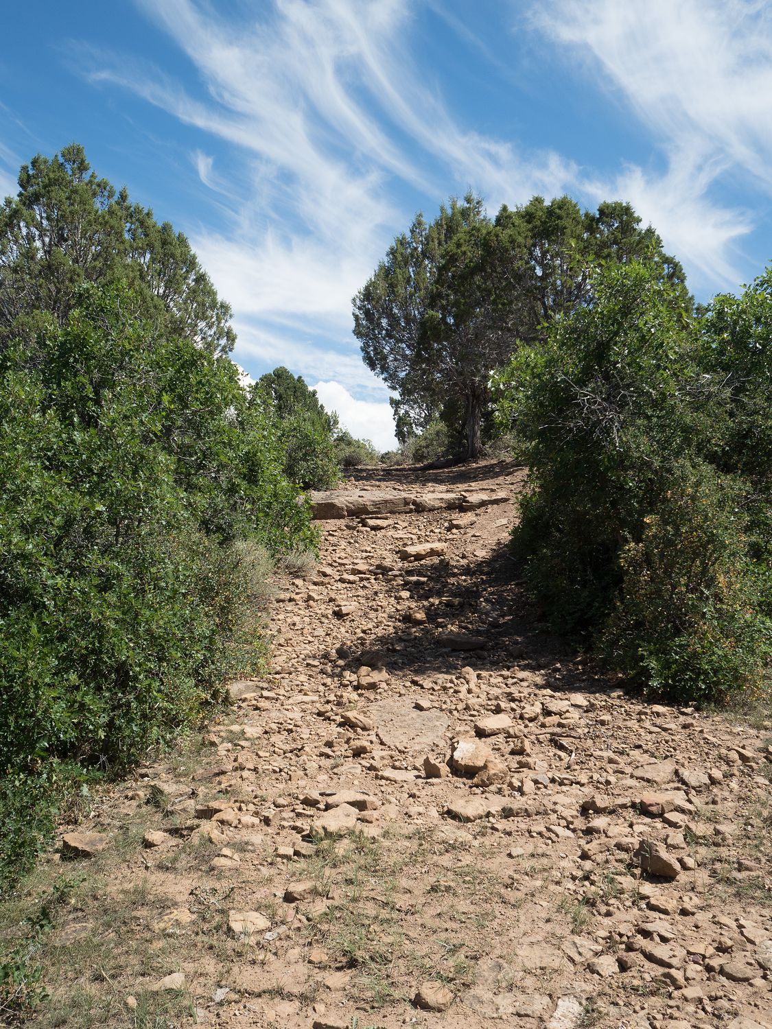
In our infinite wisdom (okay, mostly mine), we decided to take an alternate route out of the park and back to the main road so we could turn south to head for the other side of the canyon. The roads started out fine, just wide gravel roads like we’d been seeing all day. Eventually, though, our road turned into a jeep track, and we were a little surprised, but not deterred. It was only 2 more miles, after all. How bad could it be?
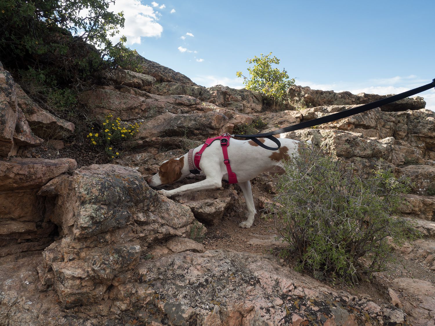
At first, it was only a tiny, rutted dirt track through the scrub, but it eventually turned to rock, and that’s where we encountered our problems. We can do rocky ups and downs, even steep ones, but we eventually came to a spot that we just weren’t ready to try. Need I say that up to this point, Mark was having an absolute blast? He’s pretty well in love with the 4-wheel drive. I’m terrified we’re going to become off-roading people, somehow.
As you can see, it doesn’t look like much from the photo, but it was enough that we were not 100% sure how to take it correctly, so we got out of the truck to investigate. It’s a pretty steep slop leading up to a solid rock ledge about 1.5 feet high. There’s no way to go around the ledge, and it is straight across the road, so going up at an angle would be hard.
In the end, because we were worried we couldn’t do it safely, we turned around. I’m sure people that actually do this stuff will scoff at our fears, but we just don’t have enough experience with off-roading to risk our truck, so we went back and went out the normal way. Maybe next time, jeep trail. Maybe next time.
It takes about two hours to get from the North Rim Ranger Station to the South Rim Visitor Center, and with out little jeep track detour, it probably took us three. We rolled into Black Canyon of the Gunnison just after 5pm, though luckily the visitor center was open until 6, so we managed to get a stamp and buy a sticker.
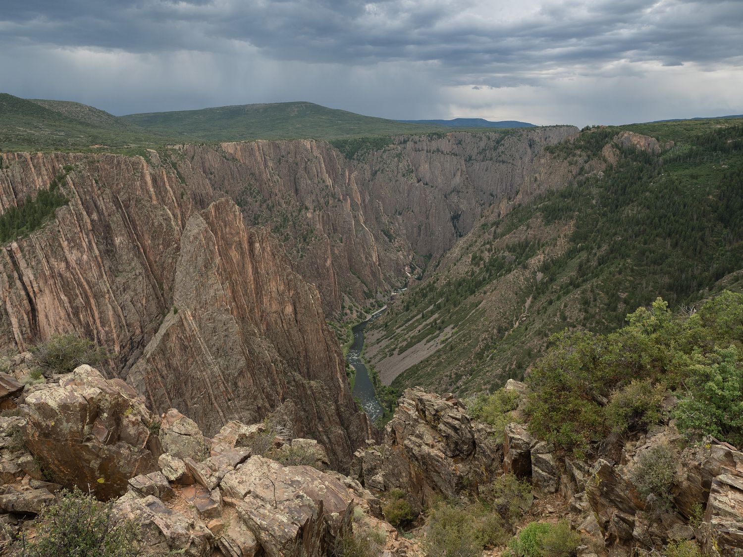
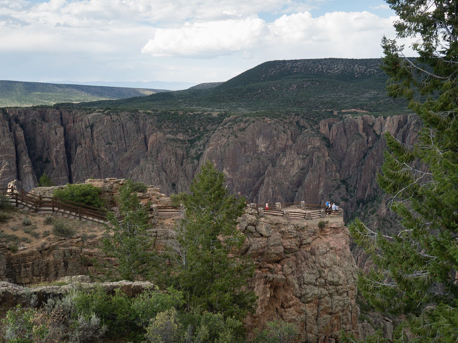
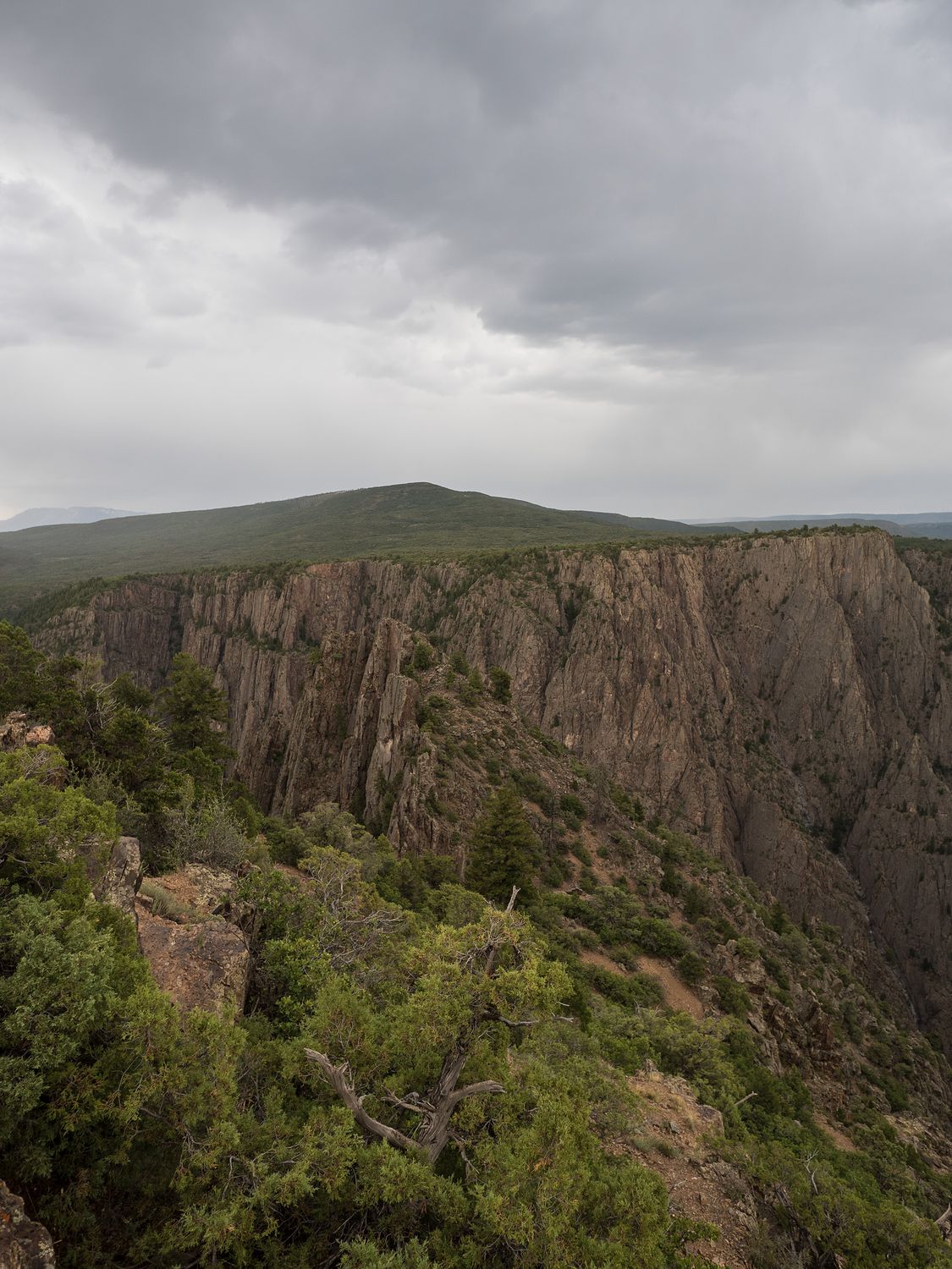
Behind the visitor center we took our first walk out to the south rim. It was surprisingly windy, and we could see a few storm clouds off in the distance. The canyon is enormous, and while not as impressive as the Grand Canyon, it is definitely one of the most impressive sights in Colorado.
Supposedly, the canyon is called Black Canyon because some of the areas of the canyon “never see the sun.” The internet tells me that most everywhere in the canyon sees at least half an hour of sun, so take from that what you will. It is quite difficult to photograph, whatever the reason for the name. The particular combination of strong sunlight and dark shadows can be maddening, even with good equipment. The canyon also seems to exist in some sort of perpetual blue haze, which we noticed on our previous visit, as well as this one. I wonder if it is clearer in winter?
Up from the visitor center is another 10 or so pull-outs for canyon views. There’s one down from the visitor center as well, which we decided to see on the way back out of the canyon. We stopped at several of them to take in the view.
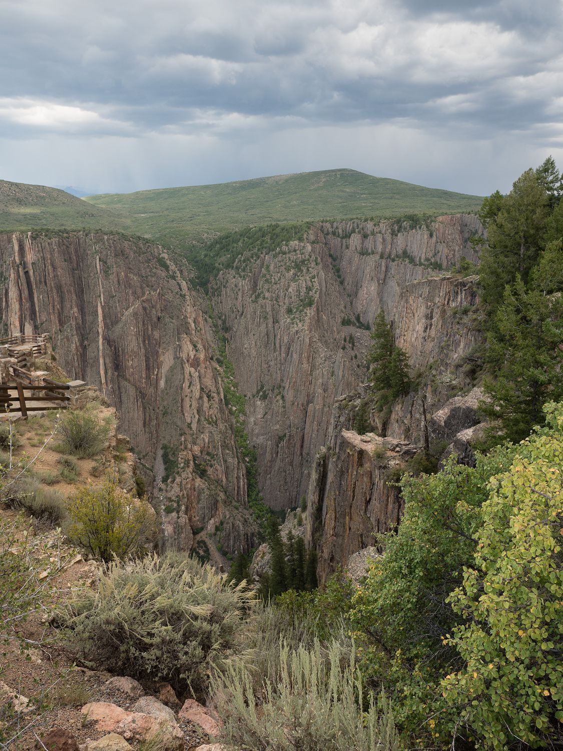
All the while, the menacing clouds on the horizon were getting closer. I mentioned to Mark that we were pretty much on borrowed time at that point, so we hustled our way up the road, trying to see as much as we could before we were foiled by the rain.
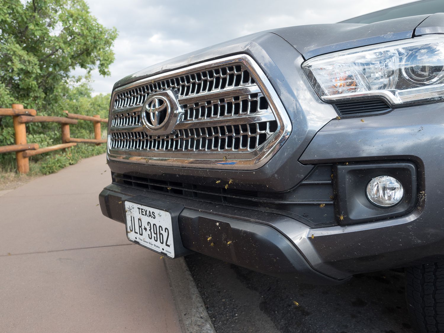
At all of our stops, despite the howling wind, our truck was assaulted by honey bees. We, too, were frequently surrounded, but once you were away from vehicles, they would leave you alone. We were baffled, and even in googling for an answer, I’m not sure why they liked our grill so much.
My best guess has always been that they are eating the bugs. While up in Canada on our Alaska trip, my dad was eating a tuna sandwich and the local bees kept carrying off tiny pieces of his tuna, which blew our minds. Maybe they like meat? It’s not hard to imagine any creature acting as a scavenger when it is hungry. A man walking by us while we were looking at the bees told his wife that the bees were attracted to CO2, but that doesn’t really explain why they’d be landing on the bumper. I like my theory a little better. The internet also suggests swarming, but that hardly seems to be the case here. Maybe someone reading knows the real answer?
As you can see from the photo above, it did eventually start to rain on us. In fact, it started to pour rain and lightning just as we reached the High Point at the end of the road, where you can hike out to Warner Point to see back into the canyon. It’s at about 8,289ft above sea level. We were just walking towards the trail when the skies let loose and we had to run back to the Tacoma.
We were sad, but with the lightning, we were a little concerned that it might be dangerous to stay up there, so we reluctantly turned around and drove back down toward the visitor center. We were not alone. It was around 6:30 by now, and many people were clearing out of the park with the rain.
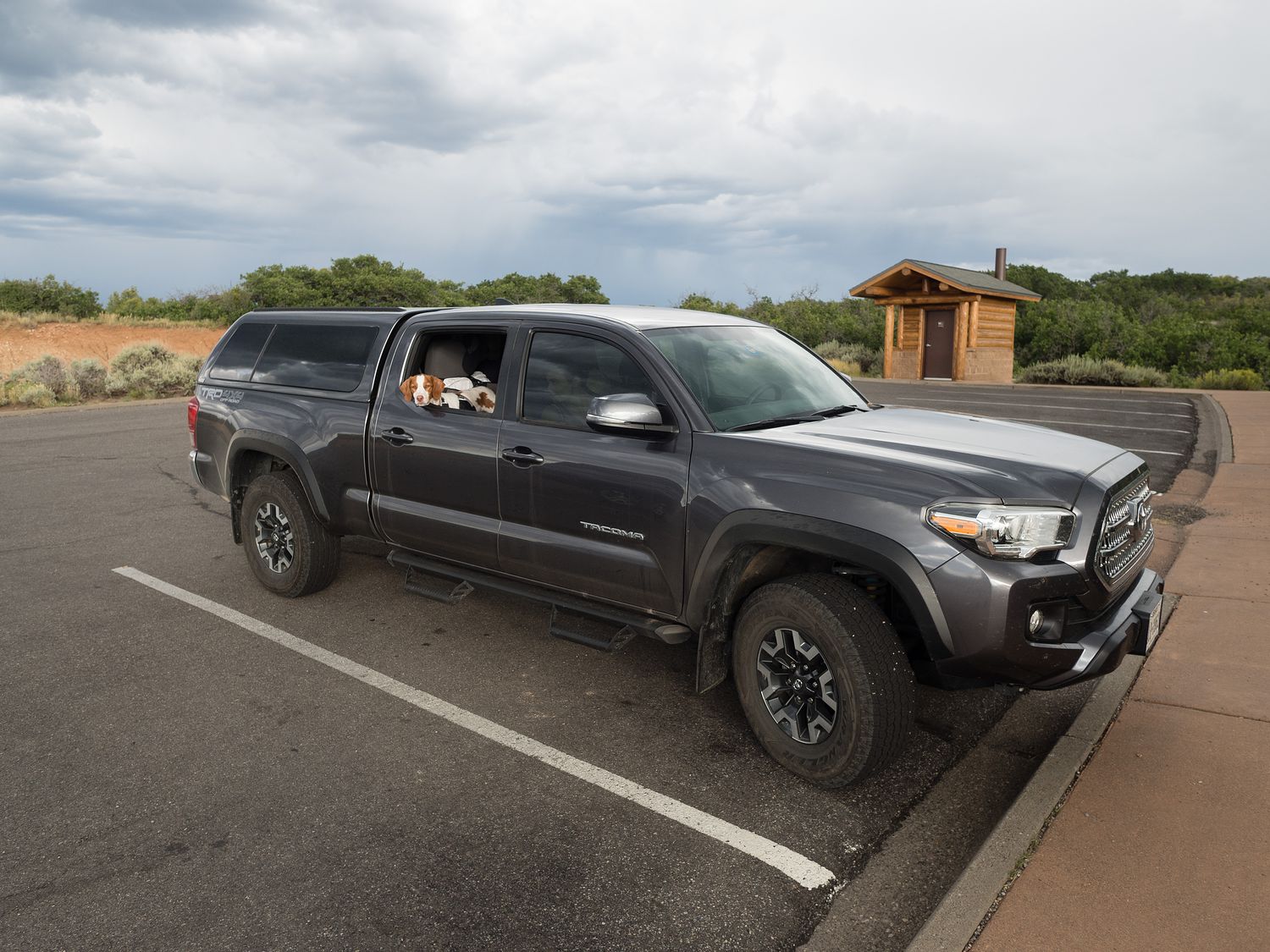
By the time we made it to the view point just past the visitor center, the lightning had disappeared and the rain, while still falling, was much lighter, so Mark took a quick walk out to Tomichi Point for a few last photographs. Ripley and I wished him well why we stayed warm and dry in the truck.
From the canyon, it isn’t far at all down into Montrose, where we were staying for the night. Montrose’s hotels are stupid expensive, and our run-down Rodeway Inn was still over $100 a night. It was one of the cheapest places in town, too. Something nicer would’ve been closer to $150, which we generally refuse to pay for hotels.
It was fine, but worth more like $60 in any other place. I almost wish we’d continued on up the road a little ways. Ripley doesn’t, though. She loved the soft, green patch of grass they had for walking dogs in the center of the parking lot.
In the end, we had Qdoba again for our dinner. It wasn’t adventurous, but it was quick, and we were happy with it. Tomorrow we are mostly just cruising, with a visit to Telluride planned and then a trip around the Uncompahgre National Forest up to Grand Junction.
– Trip Total : 1,175 miles –