– Steamboat Springs, Colorado to Silverthorne, Colorado –
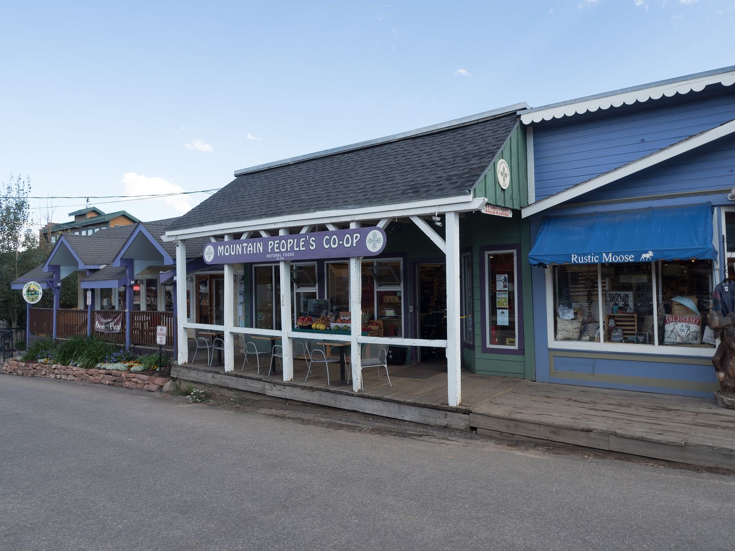
Steamboat Springs is pretty cute. It’s a bit like a mix of the tiny mountain towns and a regular city. Most of the town runs along a big stretch of highway through the middle of town, right next to the Yampa River. It has many cute little shops, but it also has a lot of chain restaurants and stores that you wouldn’t normally see in a ski town. I would come back, I think.
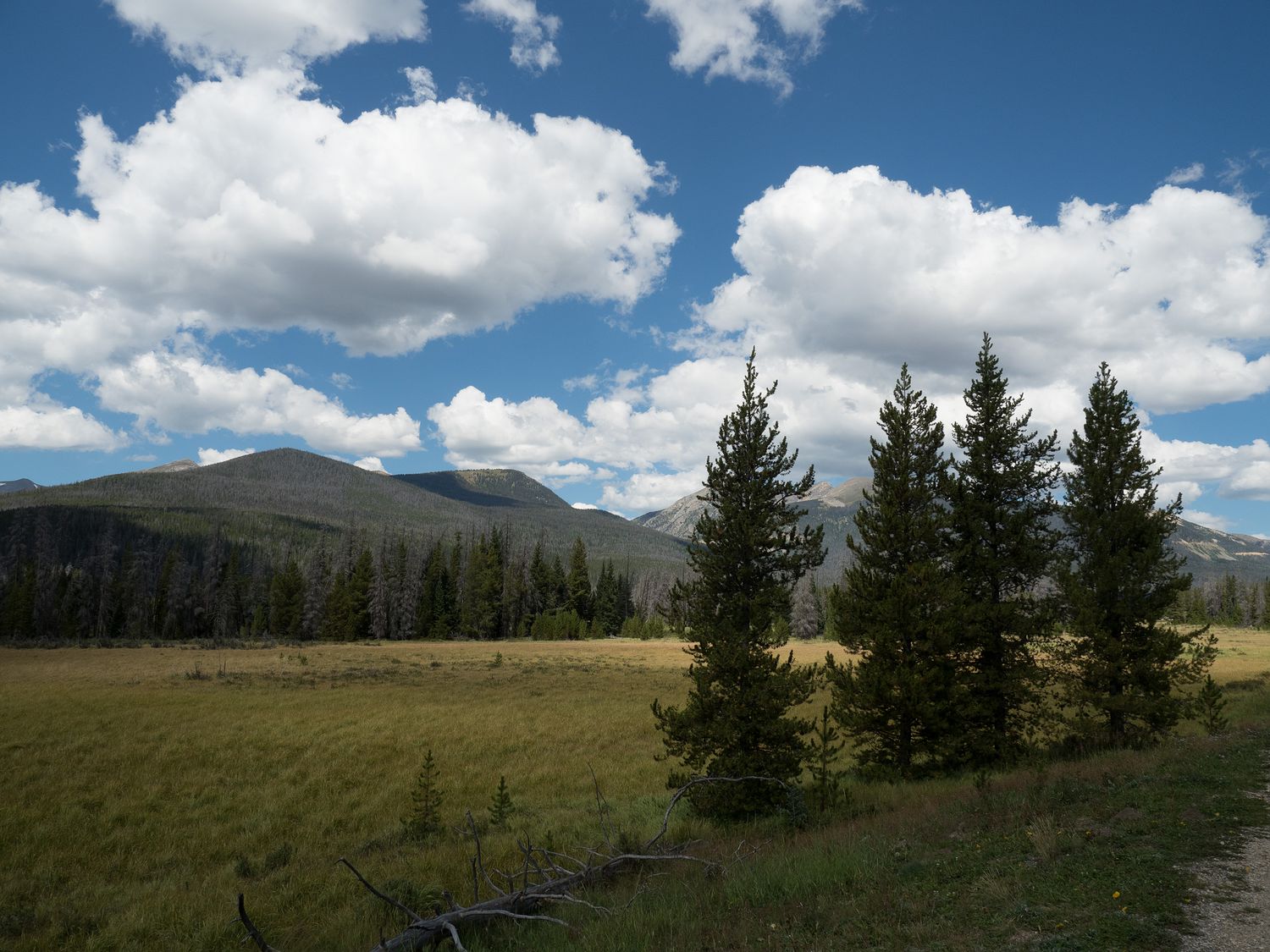
Anyway, since this is Colorado, which I believe is the fittest state in the US, we of course found a reasonably nice trail. There’s a 7.5 mile trail that runs through the town called the Yampa River Core Trail, which we were able to walk over to from our hotel. That’s always best, since driving to our running trail makes it take an extra half hour, typically speaking. This particular trail is wide and paved, though it does have a few street crossings, which are less than ideal but reasonable enough in a city this size. We ran past the botanic park, too, which is adorable. Ripley wasn’t allowed, but if anyone else is visiting, it would be a fun stop, if you are willing to leave your pups behind.
After our run and a quick shower, we wandered down to the first floor of our hotel and had some breakfast. The people at the La Quinta in Steamboat Springs are really very nice, so I definitely recommend it, as long as you can deal with the fact that it doesn’t have an elevator, so if your room is on the second floor you’ll need to carry all of your things up the stairs. We also saw a naked toddler in the breakfast room. I guess there’s a first time for everything. I hear sometimes toddlers go rogue and when mom and dad turn their backs for a second, the kid is naked and writing in permanent marker on the wall when they turn back around, so I guess I can’t really blame them.
We packed up after breakfast and hit the road. From Steamboat Springs, we were headed to the Grand Lake area to enter Rocky Mountain National Park, and Mark had a courthouse stop along the way in Grand County. It’s about a two hour drive between Steamboat Springs and Grand Lake, so we were rolling into the area around 11am. We were worried about how much time we would spend in the park, because it is just huge, and we didn’t expect we’d have many opportunities to stop for lunch, so we rolled into a nice grocery store and picked up something to eat. We both had pre-pack egg salad sandwiches, and Mark had his with potato salad, while I had some soup. It worked out really well, because we didn’t leave the park until around 5pm.
Our entrance passed several picturesque little lakes, though we didn’t really have the opportunity to get out and take any pictures of them. We happened to come to the park on a free day, which was nice for the other visitors, I’m sure, but meant little to us, since we already had our pass card. In fact, the fact that it was free made the park even busier, which wasn’t ideal. I wonder if it is free tomorrow too, since it is a Saturday. Friday was bad enough, but I can hardly imagine having the park free on the weekend.
We stopped at the Kawuneeche Visitor Center to look around and throw out our lunch trash. We were planning to visit the Alpine Visitor Center at the top of the park, so we didn’t get a stamp. We didn’t stop too much before that, as the pullouts really start a little after. You can’t quite see the most impressive mountains from that area.
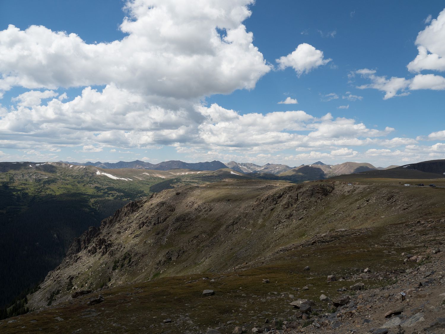
We really pulled off a lot. We stopped almost every time we saw a little parking lot off the road, even if we were looking at the same mountains. Remember I said we haven’t spent much time in Rocky Mountain before? We definitely did today. The best stops were past the Alpine Visitor Center.
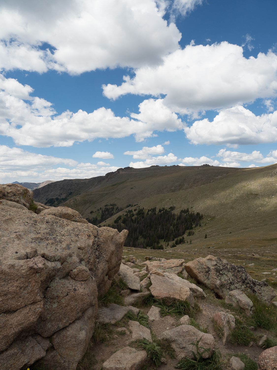
If you’ve never been, the park changes from thickly forested mountains to a totally treeless rocky cliff as you climb up the mountains. Once you get above the treeline, the view really opens up, and you can see for miles. The mountains in the distance are a gorgeous sight, particularly once you get away for the ones that are hazier because of the angle of the sun.
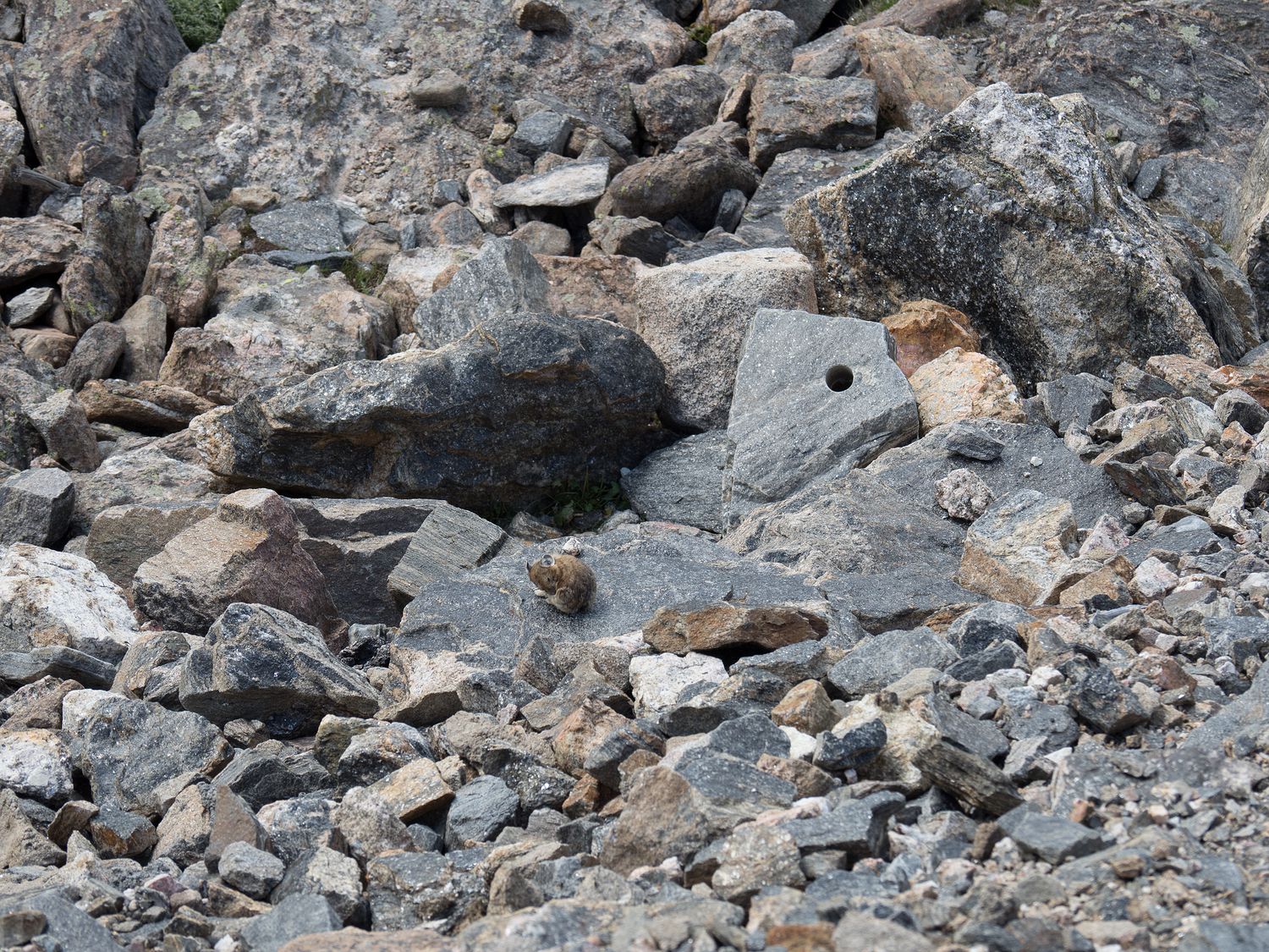
Just before the visitor center, we pulled off on Medicine Bow Curve, where Ripley had a delightful viewing of her very first pika. The pika is a hamster-sized rodent that looks a lot like a miniature bunny, and they live in mountainous regions around the world. They are considered one of the highest-living mammals in the world, as some can be found at altitudes approaching 20,000 feet. Crazy, right?
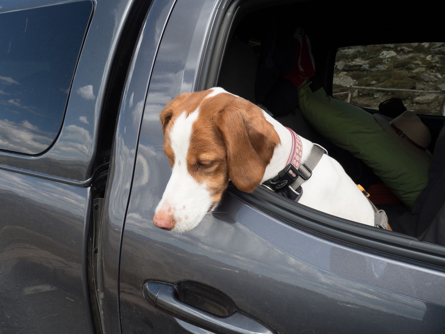
Speaking of crazy, they drove Ripley positively bonkers. They are brave little critters, and we saw a handful of them just hanging out on the slops just below the road. They would flit from rock to rock, sometimes anxiously, and sometimes brazenly, like the one cleaning himself in the photo above. He wasn’t at Medicine Bow Curve, but that’s where we spotted the first. Ripley just stared at them and shook. That’s really her only move when she spots a tiny, bite-sized animal that she can’t quite reach.
The Alpine Visitor Center was so busy that there was a line to enter that stretched out into the road, and the parking lot was totally full, so we regretfully decided to skip it. Why waste our park time trying to get into another visitor center when we could just go to one of the ones on the other side of the park on our way out? Still, I would’ve preferred that we get our stamp from there. Oh, well.
Right next to the visitor center is a 9-mile dirt road that we were interested in taking down to rejoin the main road, but unfortunately it was one-way heading back up toward the visitor center. It is only open from July 4 through September, so we only just made it in the window. It’s called Old Fall River Road, and we will definitely come back to take it some day, when we are coming up from the other way. It would’ve taken too much time to do today, so we were disappointed. We got to see other cool things along the main road instead, though, so it all worked out.
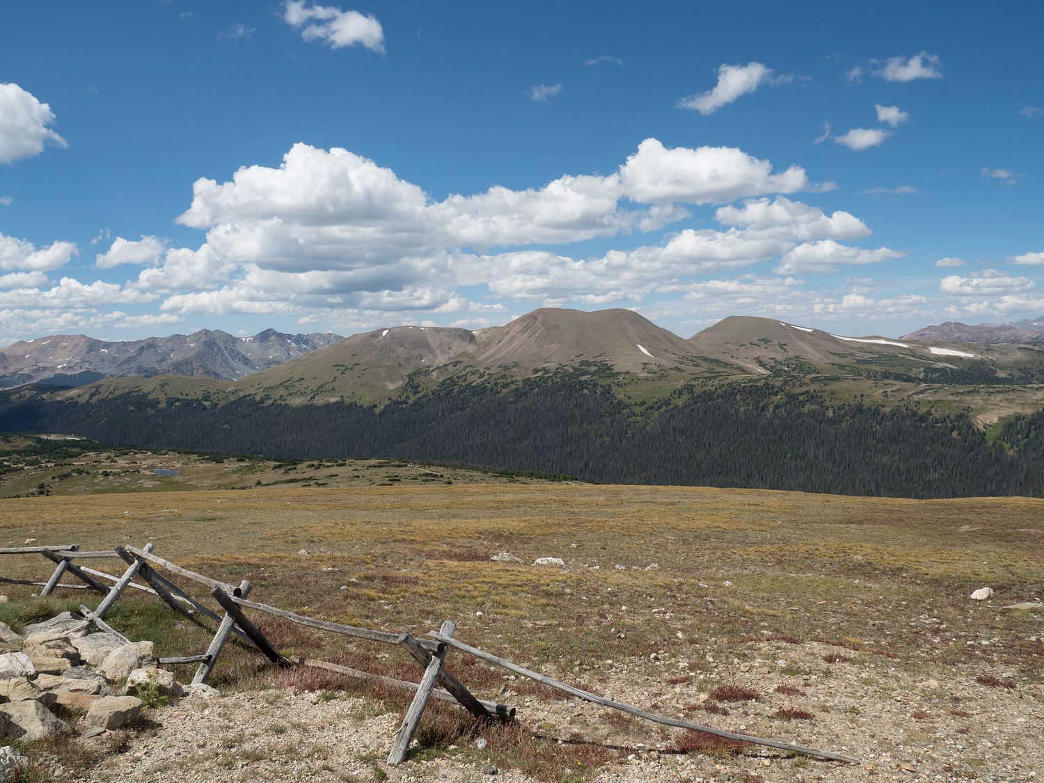
Past the visitor center, we stopped at the Lava Cliffs, which are pretty cool. The overlook for the lava cliffs is just past the highest point on the road, which tops out at 12,183 feet. I kept expecting to see a sign indicating that it was the summit, but we never spotted one. Maybe I just missed it? Anyway, the Lava Cliffs are remnants of volcanic rock, which are found mostly in the western part of the park. We saw ice and snow remnants on the sides of the road in this area, and I was definitely wearing my sweater by this point. The cold air and the wind were pretty sharp.
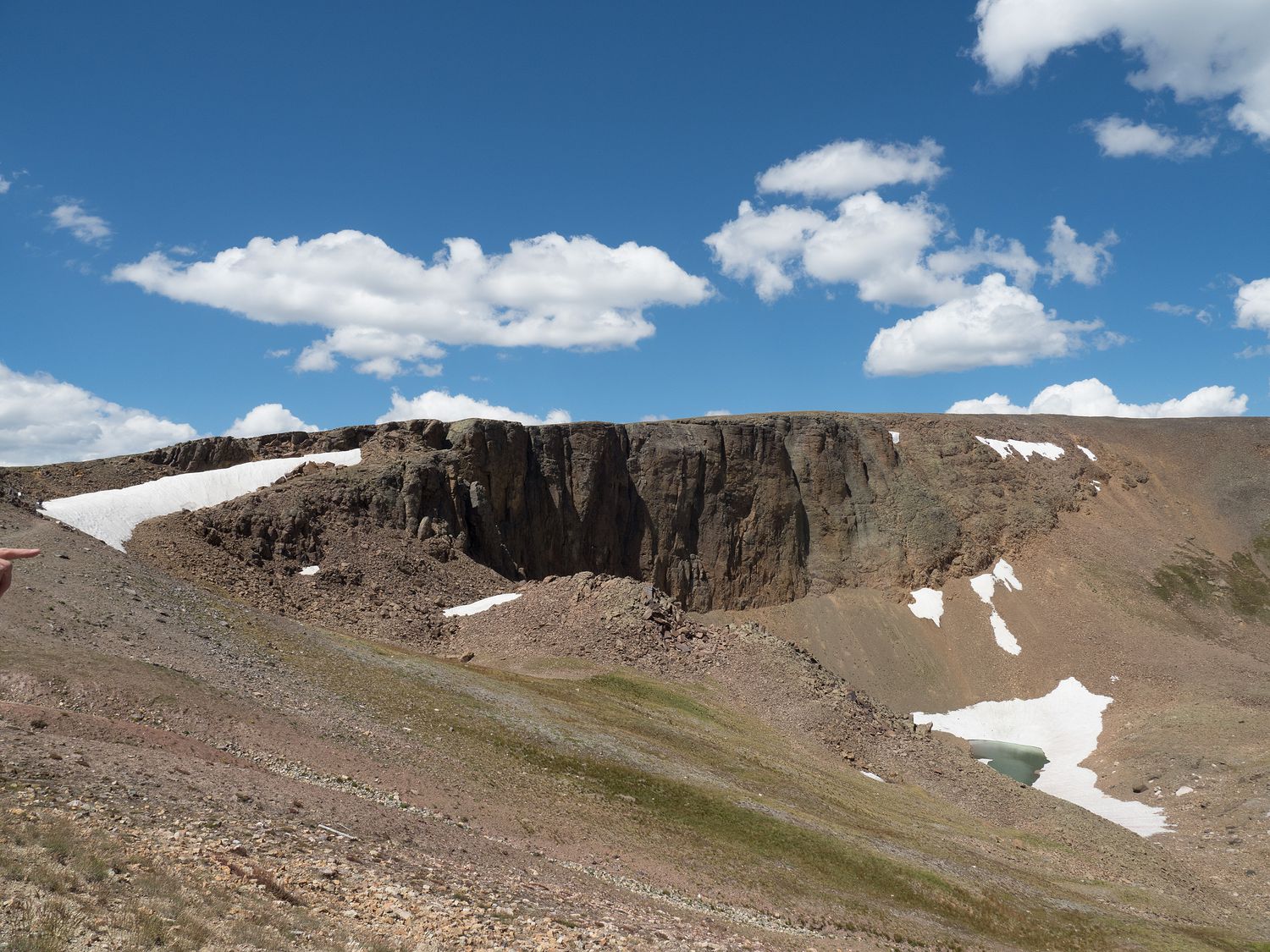
We stopped next at Forest Canyon, which is also a trailhead down into the evergreen forest in the valley beneath the road. It’s a particularly lovely little overlook, though Ripley wasn’t allowed to walk out to the end of it to take a look. No dogs allowed. I’m glad in this case she didn’t get to go. Mark was able to take his film camera, and I took the digital.
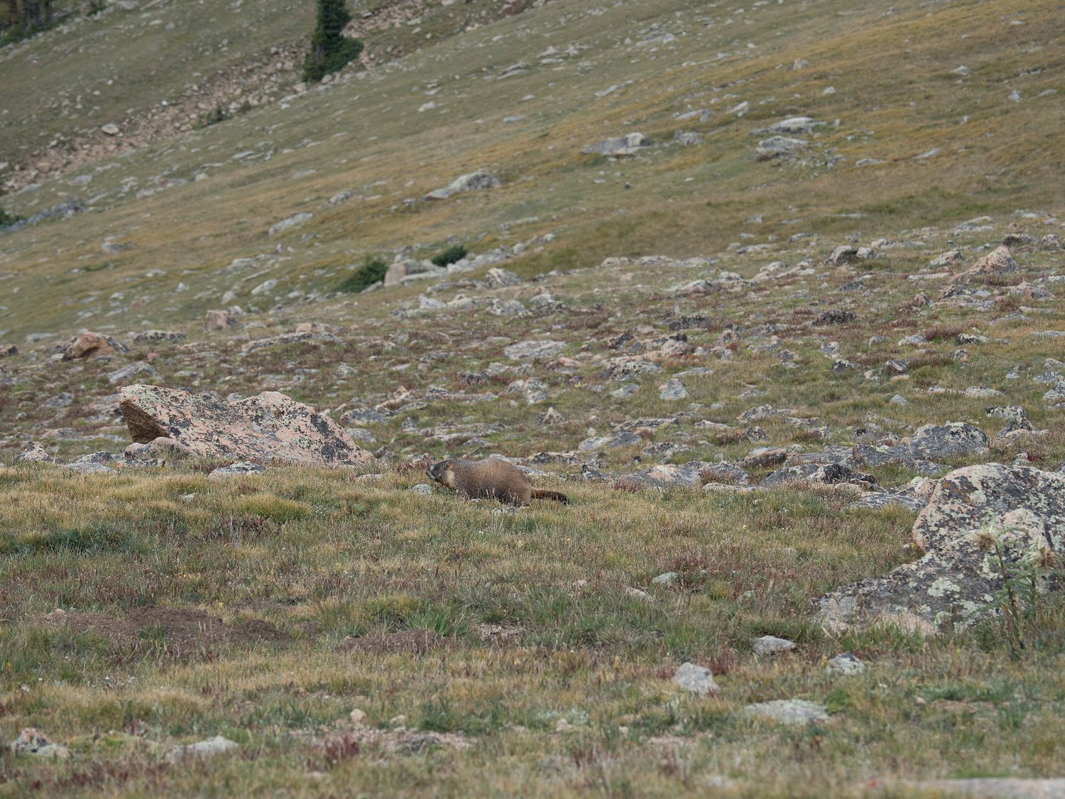
This was particularly fortunate, because we saw a marmot while we were out there. Mark isn’t great at spotting animals in the distance (or even in the little aquariums at the zoo), but I’m the family eagle-eye, and I spotted it. We had our zoom lens along with us, and even though it was pretty far away, I got a couple of great pictures of the little guy. It’s funny, as I probably wouldn’t give him much attention at the zoo, but seeing critters out in the wild feels really special.
As an aside, this parking lot was crazy busy. We happened upon a spot immediately, but we were among the few. Many, many people were hovering the little area beside the spots, waiting for somewhere to park, despite the fact that it was a reasonably large pull-off. It was one of the busier places we stopped, though there were others that we avoided that were worse.
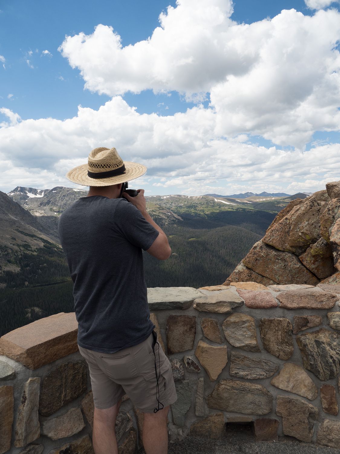
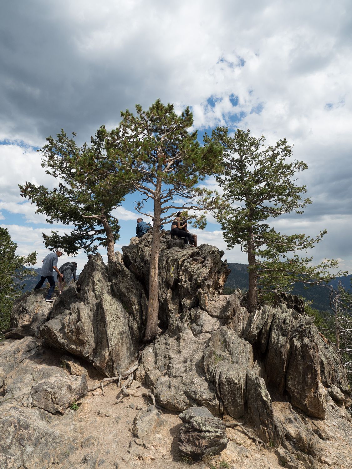
After Forest Canyon, we skipped Rainbow Curve and Hidden Valley, as it was getting along in the day and we really wanted to make it down to Bear Lake. We did stop at Many Parks Curve, where we did a bit of walking around. There’s a long walkway here where you can look down from the mountain, and a little rock outcropping, where many people climb up to take pictures.
The outcrop is several times taller than a person and looks right down on a cliff. Mark climbed up to take some pictures, but I stayed firmly on the ground. The view wasn’t really that great, I can tell from the pictures, but I guess the spot is popular for the novelty. In fact, the best picture of the area is the little outcrop itself.
I say all of this, but you may disagree. Mark and I like to talk about scenery blindness when we visit places like this. You sort of get to a point where yes, that spot is pretty, but you’ve seen so many pretty views in the last hour that they all start to blur together. We particularly bring this up around waterfalls, because after seeing so many, some of the smaller ones that people say you “have to visit” when you visit a place are usually way less impressive than many of the other waterfalls we’ve seen. I guess what I’m saying is, I sometimes forget that my perspective may be different from someone who hasn’t seen anything like it before. And these things generally actually impressive, and I’m just a jaded eye.
We didn’t stop too much between that area and Bear Lake, though we did pull off at the Moraine Park Discovery Center to get our stamp. On the entire drive down to the Bear Lake area, there are signs that Bear Lake parking is full, and you should ride the shuttle We, of course, couldn’t ride the shuttle with Ripley, so we were a little apprehensive as we approached, figuring that we wouldn’t get to stop, even though neither of us had ever visited that area of the park before.
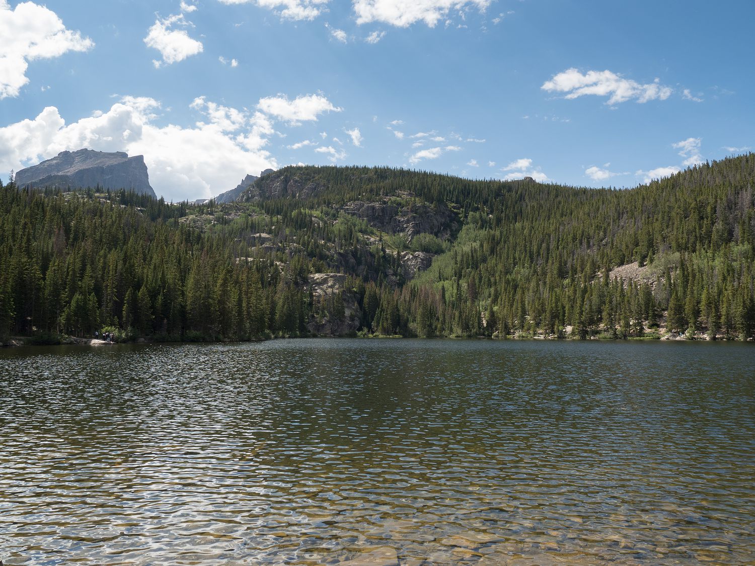
Made it, though. I guess the signs discouraged so many people that parking wasn’t actually that difficult when we arrived. Don’t get me wrong, it was full, but at least 5-8 spaces were empty when we arrived. We parked quickly and easily, and were able to walk over to the little lake for a few photographs. It wasn’t as impressive as we’d hoped, especially with the sun directly behind the prettiest part (making the photos impossible to take). Still, lots of people seemed to be having fun hiking around in the area.
We made it out of the park just after 5, but luckily before the last visitor center closed. We were able to run in to use the restroom and snap a few photos before we left. It was still a long drive from there on to Silverthorne. We stopped briefly in Nederland to look around and take a few photos, but moved on quickly.
Our arrival in Silverthorne was somewhat late, and we were definitely not alone. There was a huge wreck on the opposite side of the highway from us, and it was basically closed. Everyone was funneling off the road into the little town with us. Mark drove over to the Chipotle near our hotel to grab us some dinner while Ripley and I stayed behind to unpack. He said the line was crazy, but that the Chipotle must’ve called in extra help because of the wreck, because he was in and out of there in 10 minutes, even with a huge line in front of him.
Tomorrow we drive down to Santa Fe, and it’s a pretty long drive. In fact, we won’t get to run, since the drive is so long. It isn’t a particularly big deal, though, since we try to take a break once every weekend. It will just have to be tomorrow.
– Trip Total : 2,219 miles –