– Moncton, New Brunswick to Saint John, New Brunswick –
Well, we had a great tragedy today. The camera stopped working. Our faithful Olympus digital camera now has a shutter that is locked shut, and is frozen in the “taking a picture” state. No amount of poking and prodding has returned it to functionality, despite much advice taken from the internet. Unfortunately, it will have to take a trip back to the manufacturer to be fixed. Everything in it is too proprietary for a local camera shop. Joy.
That means that about midday, we switched to Mark’s iPhone, since we were dumb enough to forget to bring a back-up camera. On the Alaska trip, we brought our old camera body in case of just such a tragedy, but in our years without any major mishap, we’ve grown complacent, and we are now reaping our reward for our lack of preparation. The iPhone will be the main camera for the rest of the trip. Sad face.
So today, in spite of the tragedy, we had a pretty good time. We took our run in Moncton along the river, then came back for another Tim Horton’s breakfast after a shower. This is our last full day in Canada, and our second-to-last to chance to get some Timmie’s. Dunkin’ Donuts is just not the same.
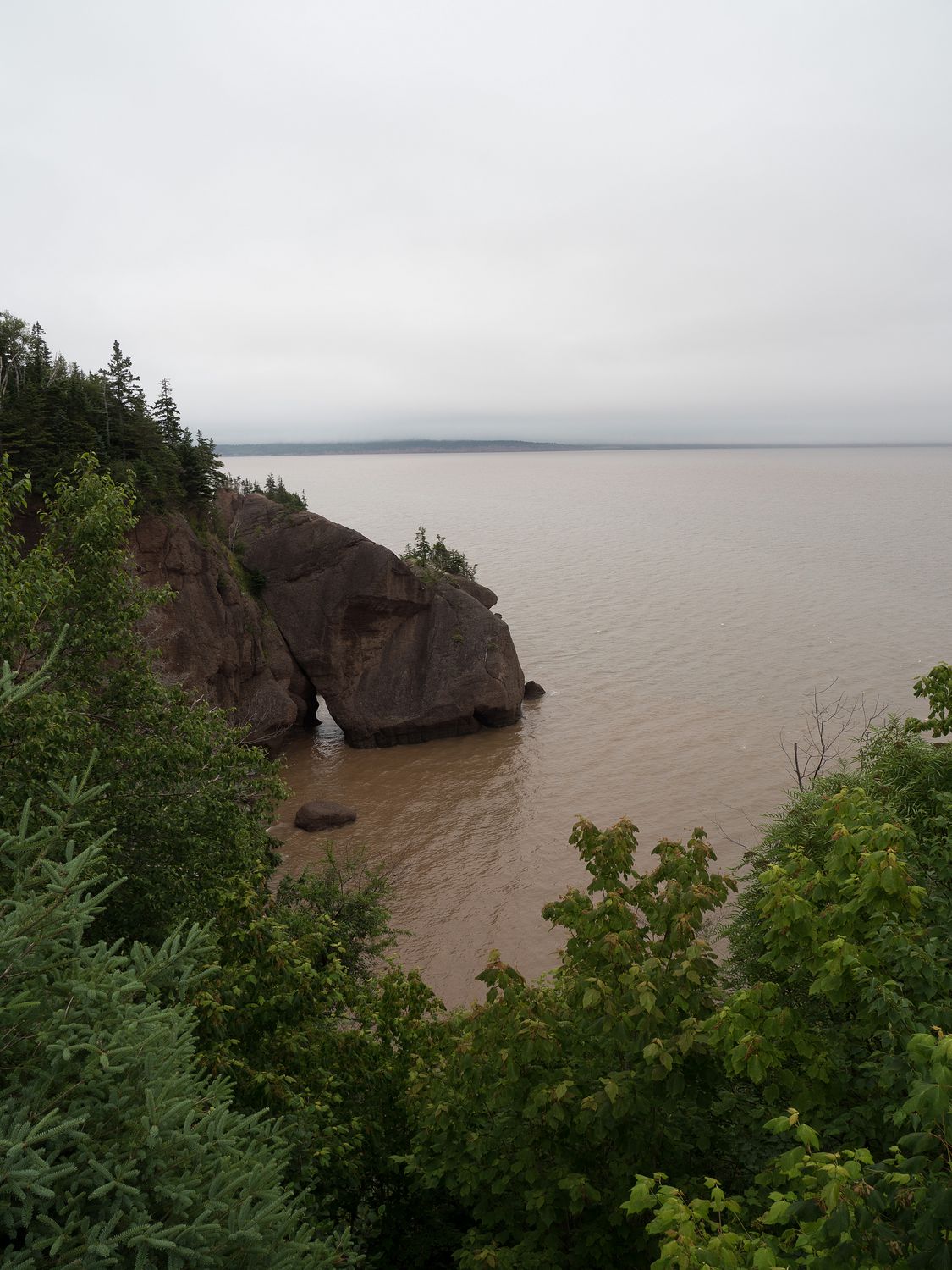
It was a foggy and damp morning, but we still decided to stop at the Hopewell Rocks again on our two-day ticket to take a look at the tide while it was still high. It was still relatively early when we stopped, s the place was only lightly attended. We left the dogs in the car, since the mist and fog were keeping it quite cool, and they didn’t really need to come along on a trip to a lookout over some water.
As expected, the tide is impressively high, and you can see it lapping at the base of flower-pot rocks close to the cliffs. I suspect people were out kayaking around them, as that’s a popular pastime that time of day, but we didn’t spot any. There’s something that’s just really cool about how the tides change there. I love it. It’s a good thing, too, because the tides and the Bay of Fundy were the majority of our day.
From the Hopewell Rocks, we continued down the road, winding through tiny coastal roads off of the main drag, looking at the early morning high tide. Since it was just starting to go out, you could stop at a place for just a few minutes and literally watch the water recede. It doesn’t take long at all for it to change.
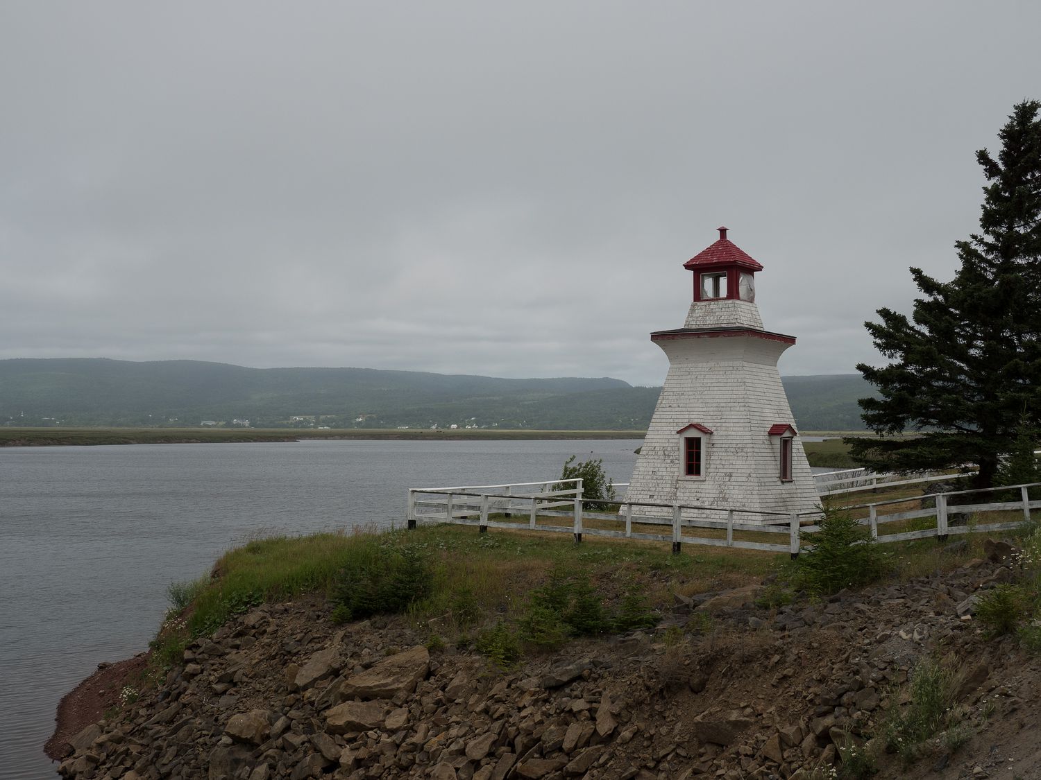
Back on one of our no-name little roads, we visited the tiniest lighthouse of the trip: Anderson Hollow Lighthouse. It looks as though it has been abandoned for a while, and it isn’t really on the ocean, jut a little inlet, so it doesn’t seem like it was ever that useful.
Right next to it was a tiny spillway and the remains of the wooden hull of a sailboat. It had clearly been there for a while. It was cool to see, but it was hard to walk up into it, despite the path, as the grass was taller than our knees. It was chilly out, and we were bombarded in mosquitoes anywhere near the grass, so we didn’t stay for too long.
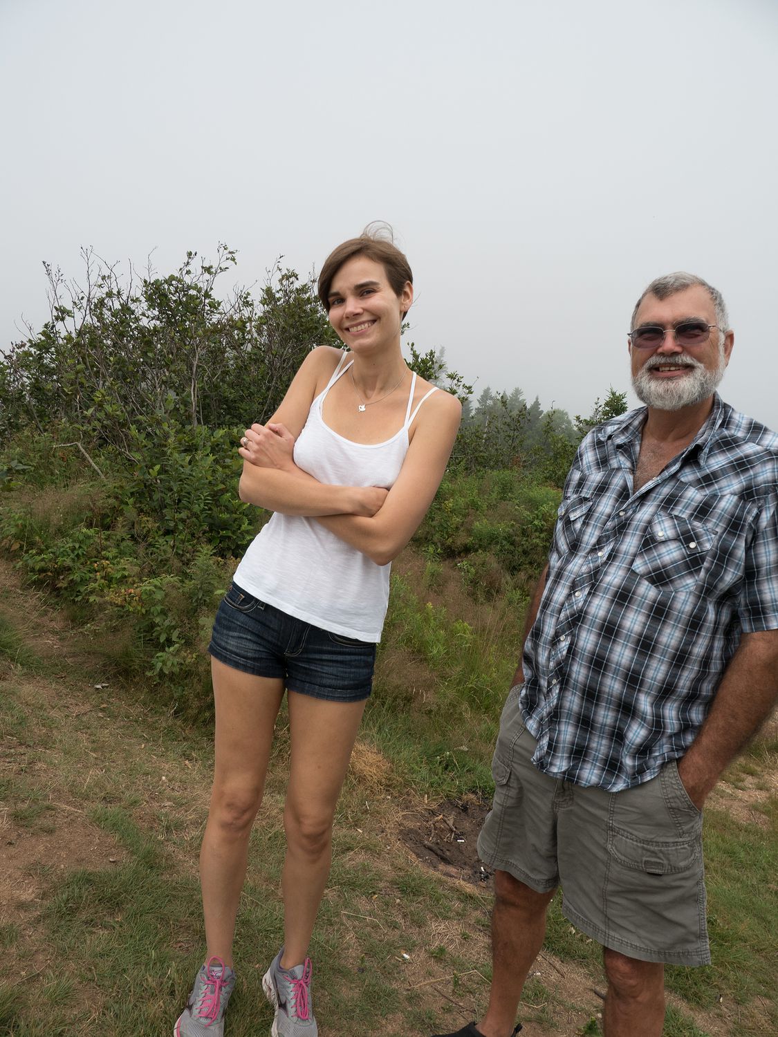
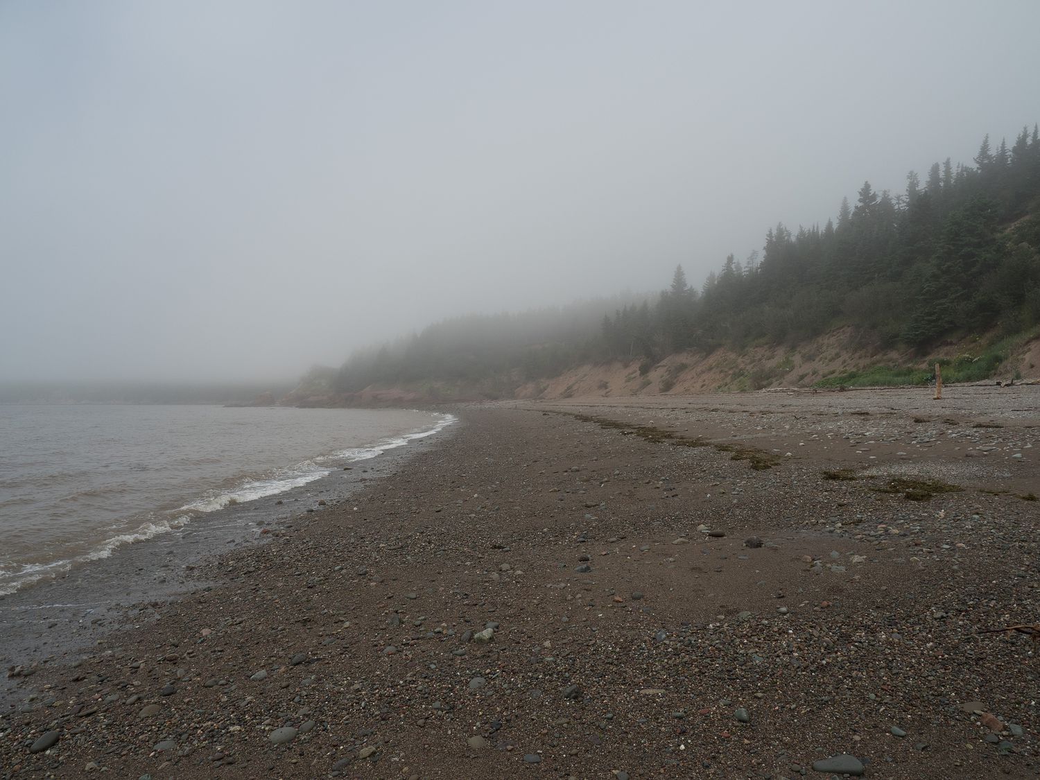
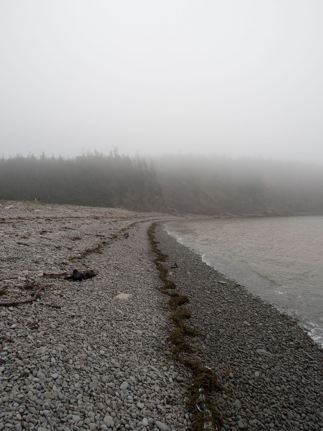
Along the way, we stopped at several cliffs and beaches looking out at the bay. One favorite was the one in the Cape Enrage Nature Preserve. It was really cold on that one, but the beach is covered in smooth, oval rocks and rough gray sand and you could clearly see the water marks as it moved out. Mark and I have visited that beach before, and it always sticks in my mind. It was much warmer last time.
Just a little up the same back road was a lighthouse, but for some reason, Mark and I couldn’t remember it, despite having clearly visited the cape before. It turns out that the lighthouse costs $6 per person to visit, which is absolutely ridiculous. $24 for the four of us to look at a rinky dink lighthouse that’s not quite half as attractive as some of the others we’ve seen? No thanks.
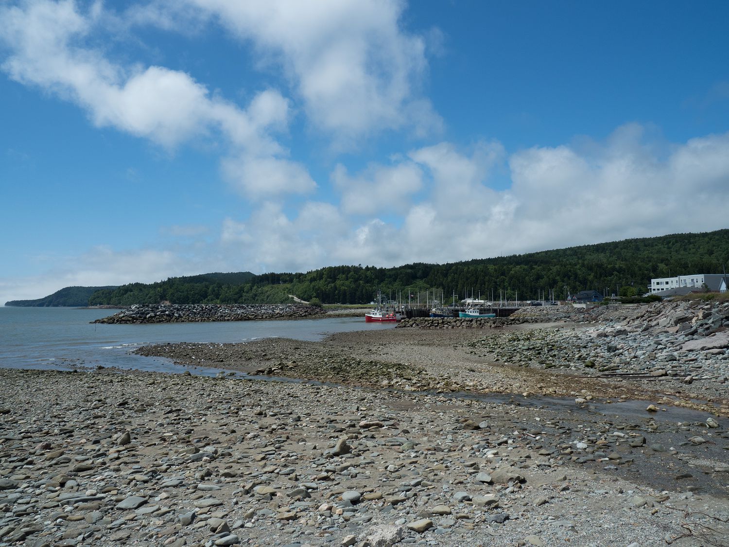
Our beaches were getting pretty long as the tide went out and the morning went on. Just before noon we finally pulled into Alma, the town right next to Fundy National Park, which is always included in photographs of the Bay of Fundy. The boats at the marina there are on postcards and such, sitting on the ground next to their dock during low tide. People love photos of those.
Being that it is famous, and right next to Fundy National Park, Alma is basically a tourist trap. By now, the sun was coming out and the fog had mostly burned away. It was turning out to be a very nice day.
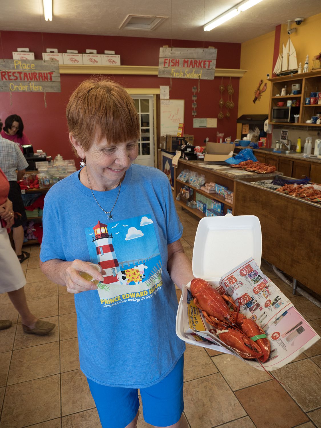
Mom loves lobster, and it was lunch time in a tiny town with at least 3 lobster shops, so we decided to shop around and find her the lobster she’s been craving for the whole trip. We’ve been looking for the right thing for days.
We finally found a whole lobster at a little lobster shack and bought it for her. The rest of us had pizza at the same place (and the same picnic tables) Mark and I visited the last time we were here. I wonder if Ripley remembered it?
While we ate our pizza, Mom deconstructed her ocean bug and dunked it in butter to eat. I literally couldn’t watch. Since it was a whole lobster, every time she picked it up, it was looking at me. And she was digging fleshy bits out of its shell. She almost needed a bath when she was done eating the thing. Yuck.
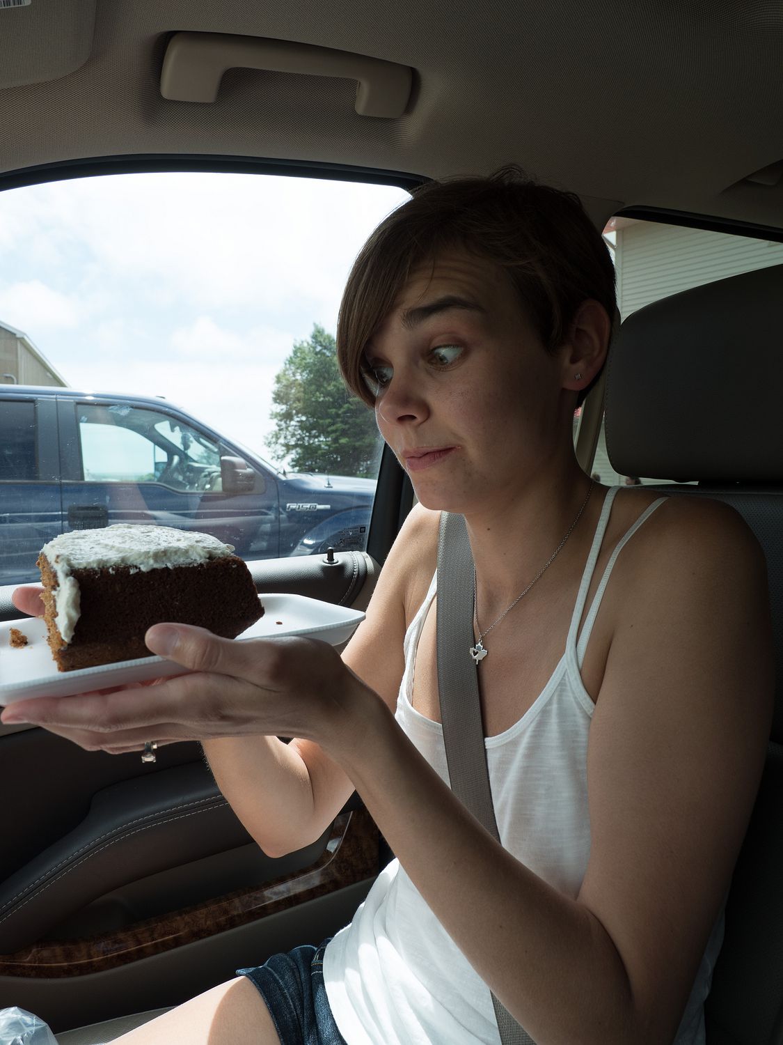
Lunch eaten, we stopped at a nearby bakeshop for some post-lunch sweets. The carrot cake I got was as big as my head. I couldn’t get anyway to split it with me, as they all wanted something else, so now there’s a huge hunk of leftover carrot cake and other sweets remaining for dessert again tomorrow. Everything looked so good, but the servings were huge.
Now stuffed full of food and cake, we drove over to the visitor center for the national park. It’s strange, but most of Fundy National Park is actually pretty far from the bay. Once you are on the road in the park, you are leaving the tidal area, for the most part. I guess they couldn’t get better land for it?
At the very bottom, there’s a campground area and a bit of beach for visitors, and its the only part of the park that’s easily accessible and on the bay. We futzed around in there for a bit.
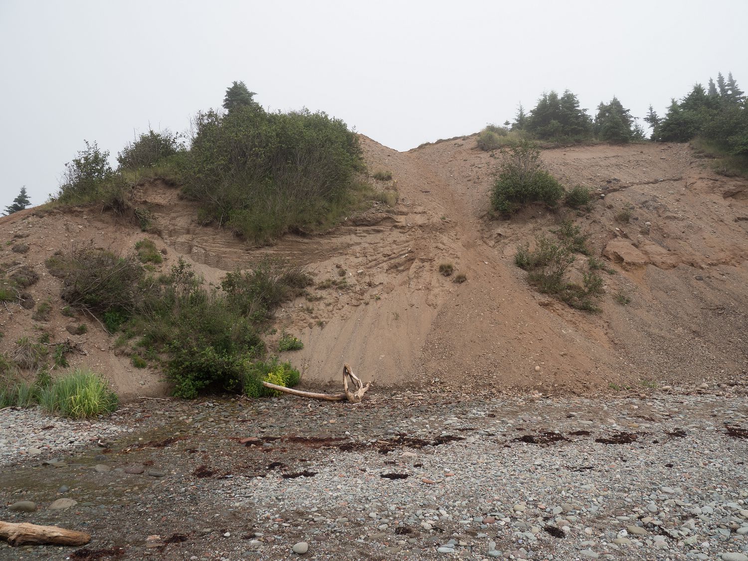
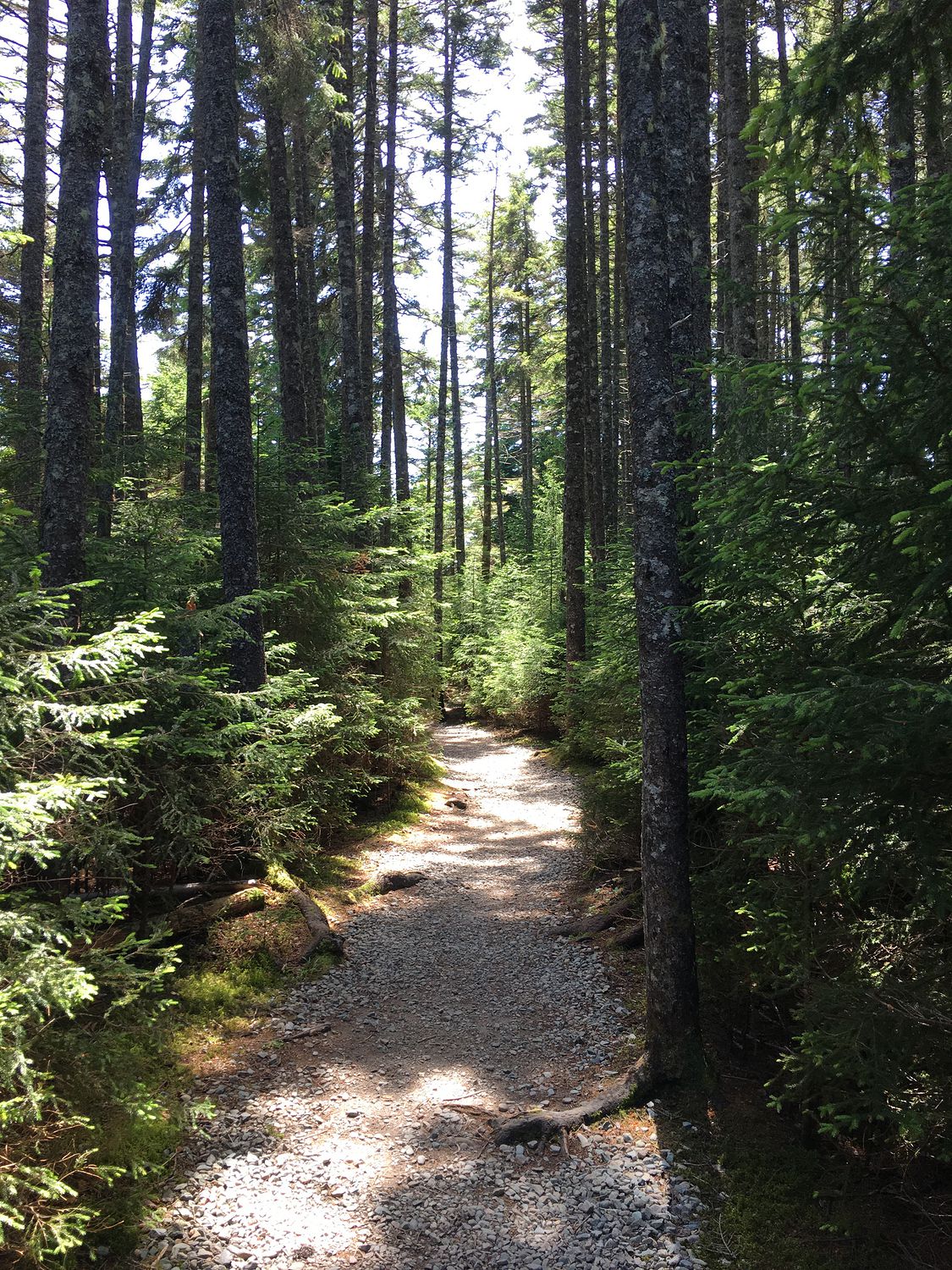
On our 1 kilometer return trip down a steep incline to Point Wolfe Beach, we had our camera incident. It died a little better than halfway down, and we couldn’t get it to come back.
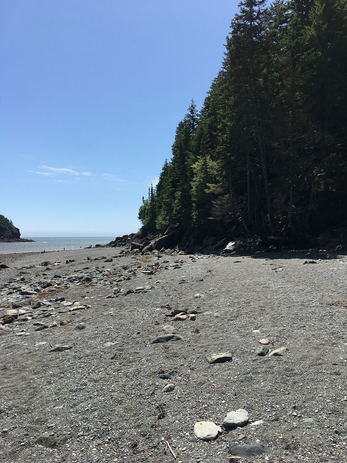
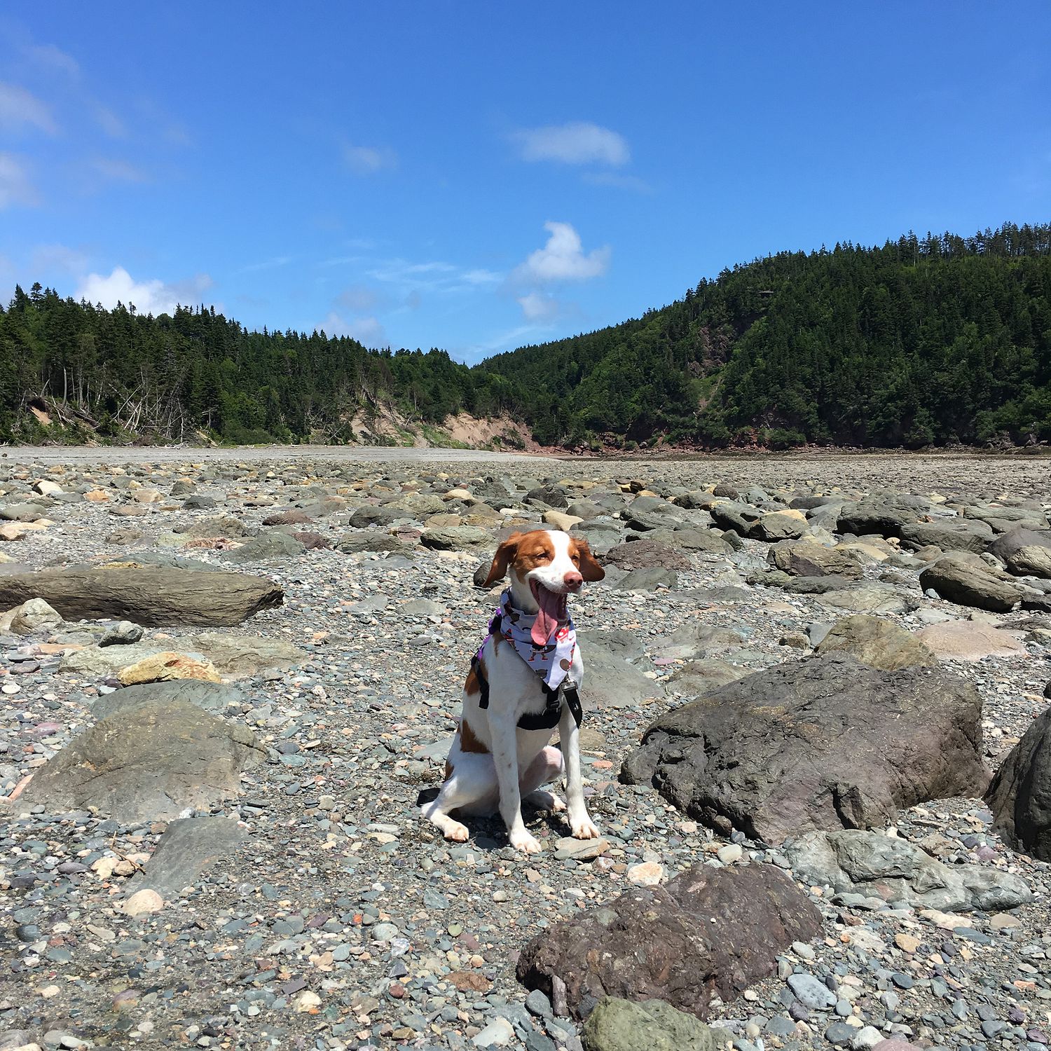
Still, the beach was pretty, and with the tide out, it was huge. It was another grey, rocky beach, but it was quite a bit warmer. At least the breeze was nice. The walk back up the very steep path was pretty rough on our older party members, but we all persevered. Sabre, of course, was carried, so she didn’t work very hard. Ripley pulled me up the hill. Good girl.
On our way to the road through the park, we stopped at the visitor canter again to use the free wifi to read about fixing the camera. We were disappointed to find that none of the suggestions worked, and vowed to try again this evening (spoiler alert: it didn’t help). With that, we turned up the park road and headed for Saint John.
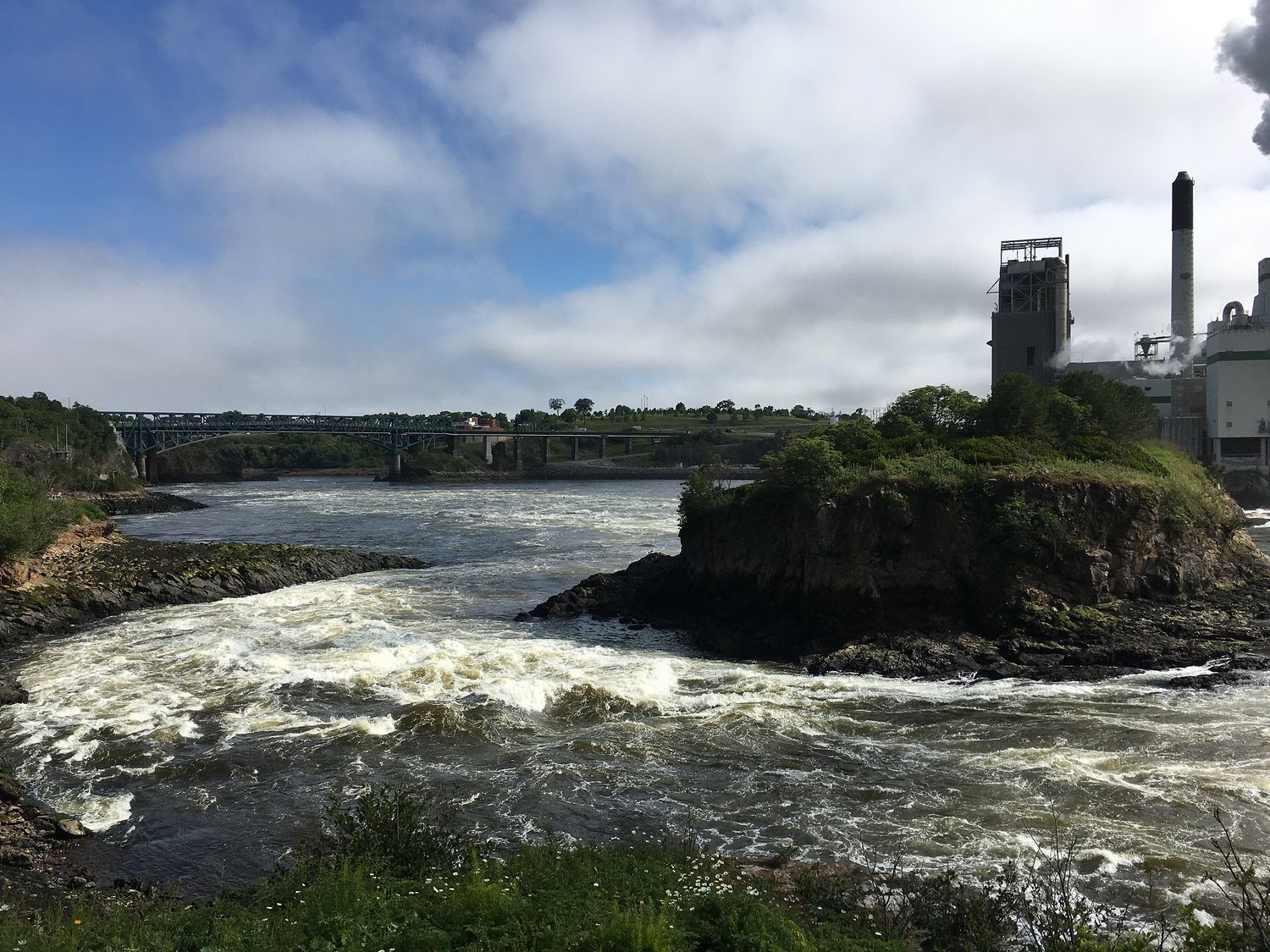
In Saint John, there’s a peculiar phenomenom on the Saint John River, caused by the tides in the Bay of Fundy, where the reversing direction of the water causes rapids and whirlpools, making for a beautiful, if dangerous, sight beneath one of the river bridges. It’s called the Reversing Falls. The water actually changes direction with the tides, so at different times of day you can see the water flow in different directions. At half tide, the whole things comes to a stand still, and that’s when people can cross the river in the area. It’s neat.
We stopped for some photos (with Mark’s iPhone, alas), and visited the touristy information center right next to the falls. It had a restuarant, museum, and lookout platform, but it all cost money to visit, and the view from the bridge was just as cool, if not better. I wonder how places like that stay in business.
Further down the road, just before our hotel, we stopped at Canadian Tire to buy Dad a Canadian flag to hang in his barn. It is a very attractive flag. I approve of this decision. He has a couple of others in there, so it will fit right in.
Finally, we stopped at our hotel. Dad was really tired from the long walk earlier in the day, so he stayed with the dogs while Mark, Mom, and I went out to fetch food. Mom grabbed sub sandwiches for herself and Dad, including a second sandwich each for lunch tomorrow. We are expecting to eat out of the cooler, probably at a nice picnic area in Acadia National Park.
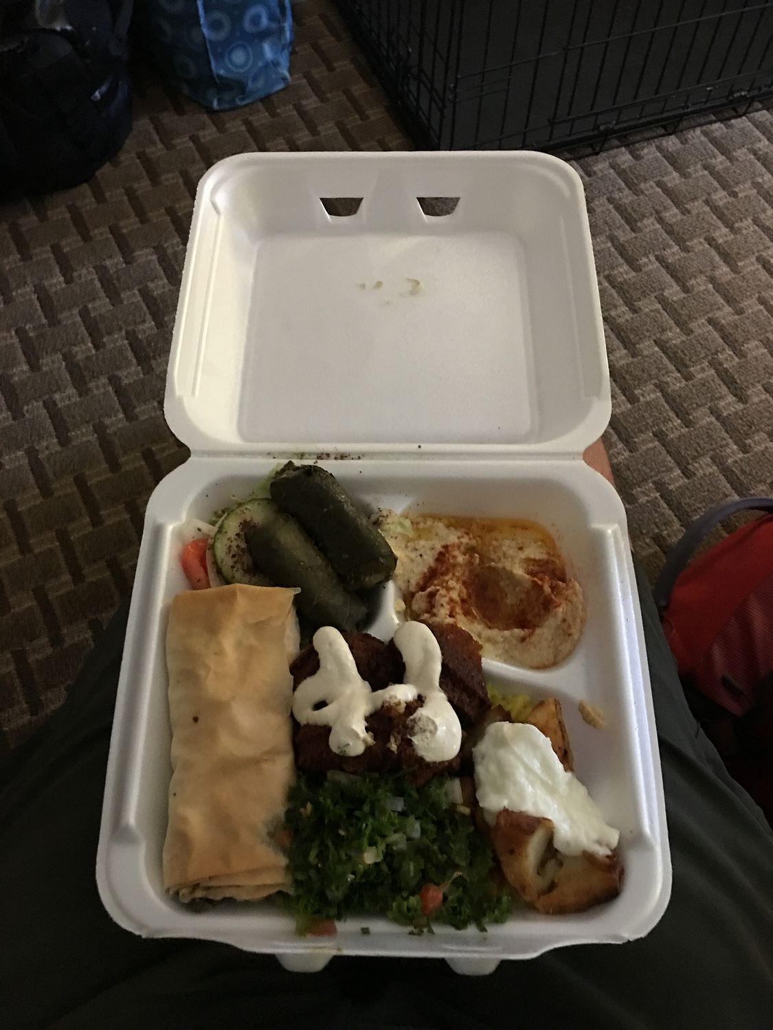
Mark and I had “Let’s Hummus,” which is a nice little Lebanese restaurant that made us our very own vegetarian platters, as those weren’t on the menu. The food was good, especially since we were starving.
After dinner, we did a final bit of laundry. Ripley needed clean bedding, and our workout clothes were all dirty. Mom had some things to wash as well, and with only one washer and dryer, we kept the little laundry room busy for most of the evening.
Tomorrow is our last day in Canada, and it’s only an hour or so to the border. It’s been fun, but I’ll be glad to be back in the land of cell phone service for the Phillips and Gallahan clans. It will be a really long day, since we intend to spend quite a bit of time in Acadia, so we don’t have time to run. Luckily, the time changes and we will get an extra hour of daytime.
– Trip Total : 6,789 miles –